Pictured Rocks National Lakeshore
Sandstone cliffs, beaches, waterfalls, sand dunes, inland lakes, deep forest, and wild shoreline beckon you to visit Pictured Rocks National Lakeshore. The power of Lake Superior shapes the park's coastal features and affects every ecosystem, creating a unique landscape to explore. Hiking, camping, sightseeing, and four-season outdoor opportunities abound.
Pictured Rocks NL is located on the south shore of Lake Superior in Michigan's Upper Peninsula, between the towns of Munising (west) and Grand Marais (east). Access the west side of the park via Michigan highways M-28 and M-94 to Munising. State highway M-77 leads to Grand Marais on the east side. Alger County Road H-58 runs parallel and through the park, providing access to spur roads that lead to scenic overlooks, trailheads, campgrounds, beaches, etc. Most park roads are closed in winter due to snow.
- Auto and ATV
- Scenic Driving
- Astronomy
- Stargazing
- Biking
- Road Biking
- Boating
- Motorized Boating
- Jet Skiing
- Boat Tour
- Camping
- Backcountry Camping
- Canoe or Kayak Camping
- Car or Front Country Camping
- Group Camping
- RV Camping
- Climbing
- Ice Climbing
- Fishing
- Freshwater Fishing
- Fly Fishing
- Food
- Picnicking
- Guided Tours
- Boat Tour
- Hands-On
- Volunteer Vacation
- Hiking
- Backcountry Hiking
- Front-Country Hiking
- Hunting and Gathering
- Hunting
- Paddling
- Canoeing
- Canoe or Kayak Camping
- Kayaking
- Stand Up Paddleboarding
- Junior Ranger Program
- SCUBA Diving
- Skiing
- Cross-Country Skiing
- Snow Play
- Snowmobiling
- Snowshoeing
- Swimming
- Freshwater Swimming
- Wildlife Watching
- Birdwatching
- Museum Exhibits
- Shopping
- Bookstore and Park Store
- Industry
- Logging and Timber Cutting
- Maritime
- Lighthouses
- Ships and Shipwrecks
- Military
- US Coast Guard
- Animals
- Birds
- Fish
- Tortoises and Turtles
- Wolves
- Climate Change
- Coasts, Islands and Atolls
- Dunes
- Forests and Woodlands
- Coniferous Forests
- Deciduous Forests
- Geology
- Groundwater
- Glaciers
- Lakes
- Natural Sounds
- Night Sky
- Astronomy
- Aurora Borealis
- River and Riparian
- Rock Landscapes and Features
- Arches
- Scenic Views
- Trails
- Unique Species
- Endangered
- Waterfalls
- Wetlands
- Marshes
- Swamps
- Wilderness
Au Sable Light Station
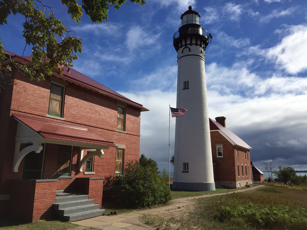
Au Sable Lighthouse and light keeper's quarters
Beaver Basin Wilderness
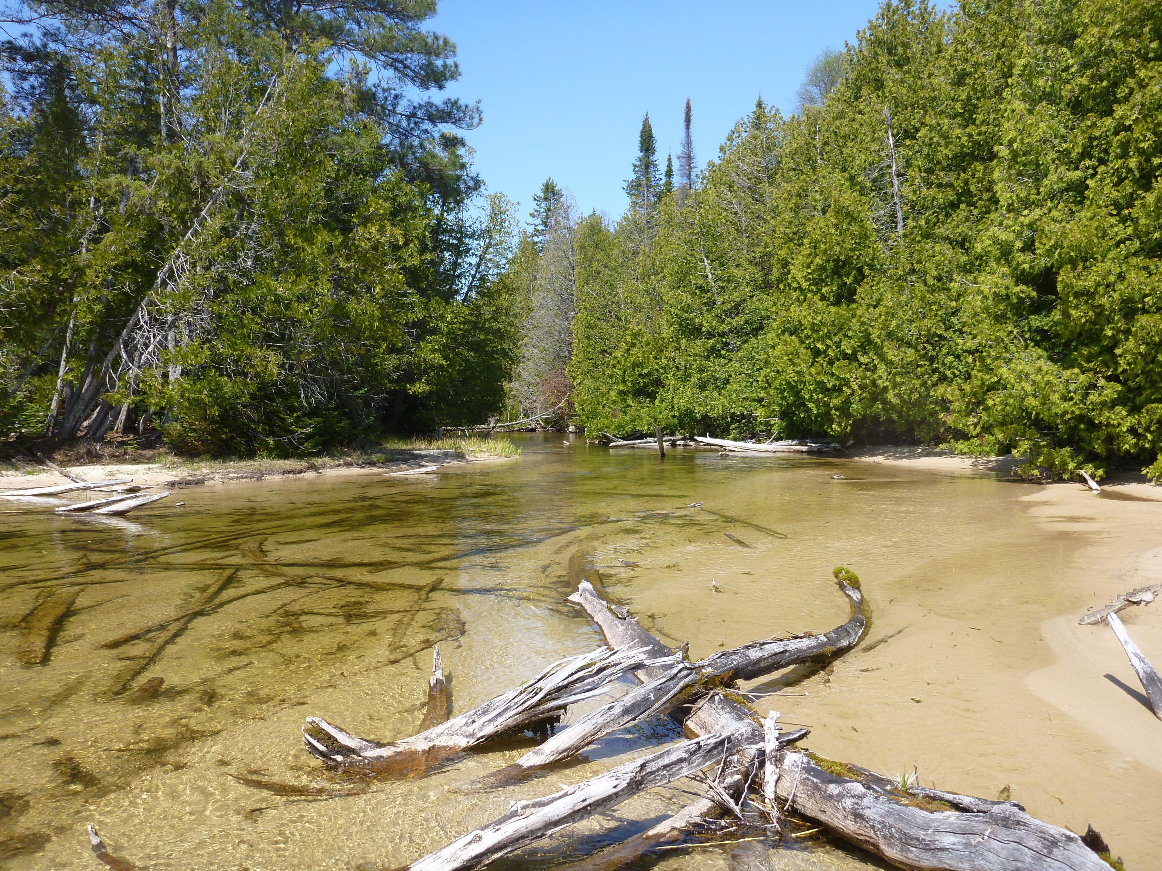
Shallow creek in the Beaver Basin Wilderness
Battleship Row
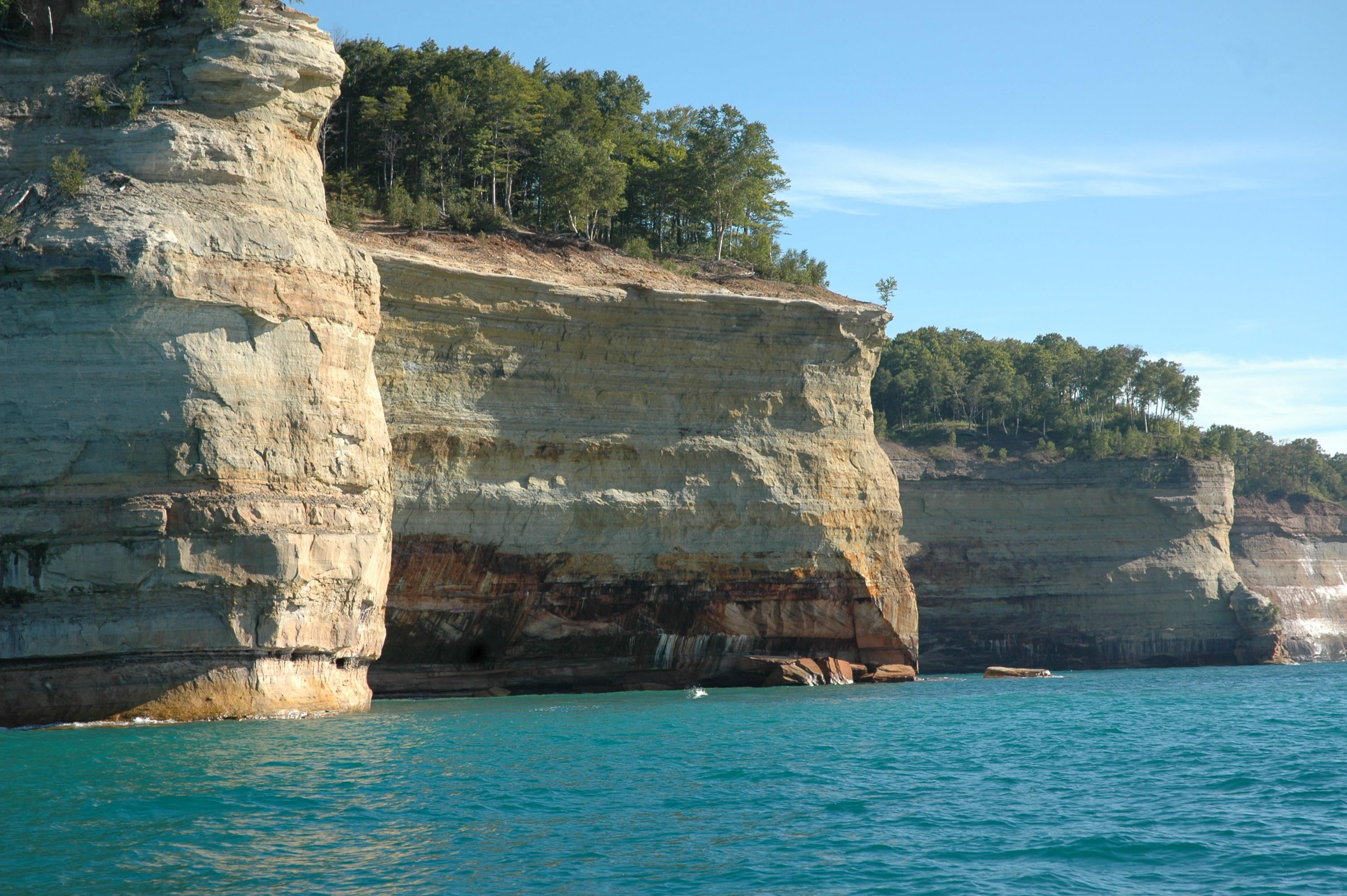
15 miles of carved and colorful cliffs along the Lake Superior shoreine.
Grand Sable Dunes
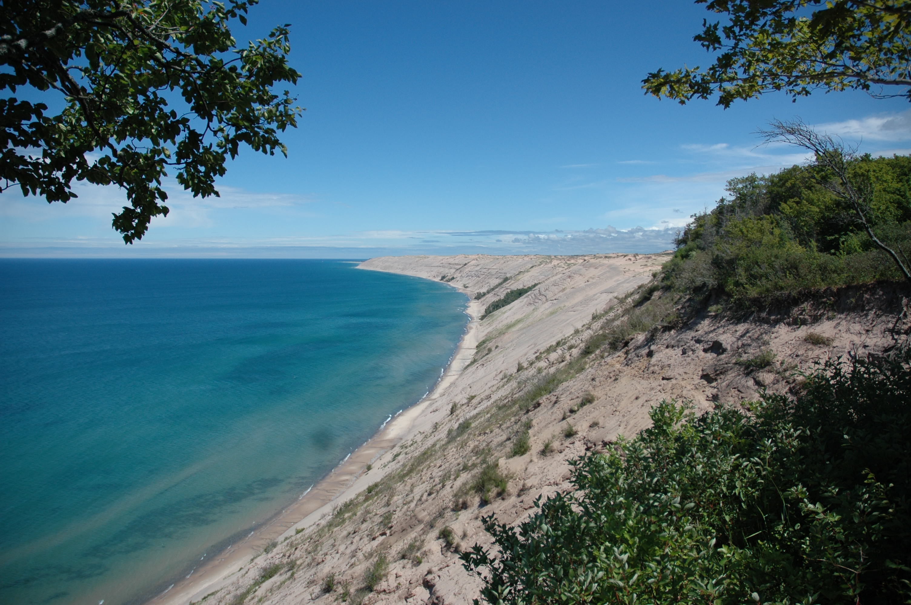
The Grand Sable Dunes rise up 300 feet from Lake Superior.
Kayaking Along the Pictured Rocks Cliffs
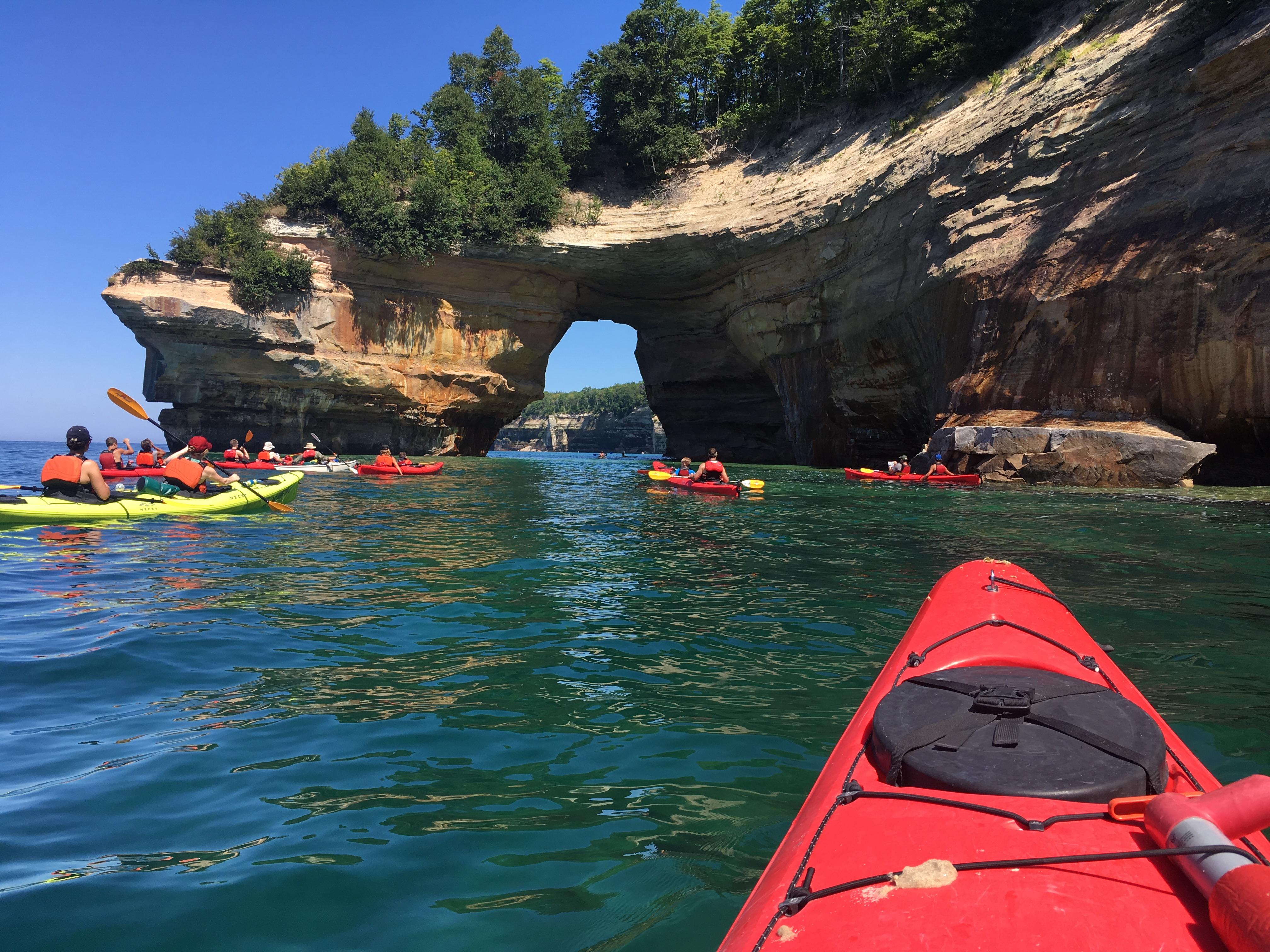
Kayakers near Lovers Leap
Backcountry Camping - Benchmark Site
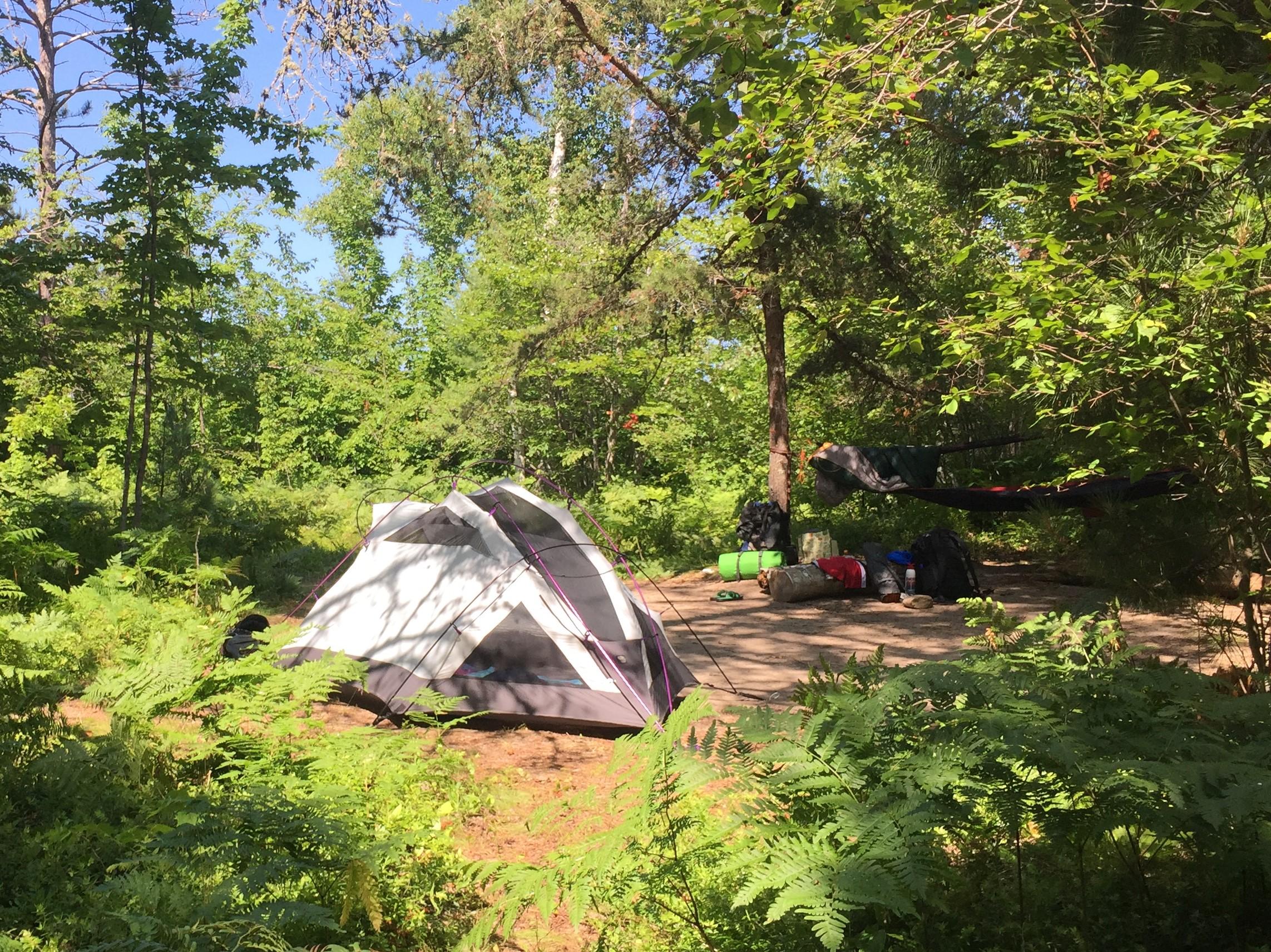
Backpacking and camping are a popular activities.
Ice Climbing
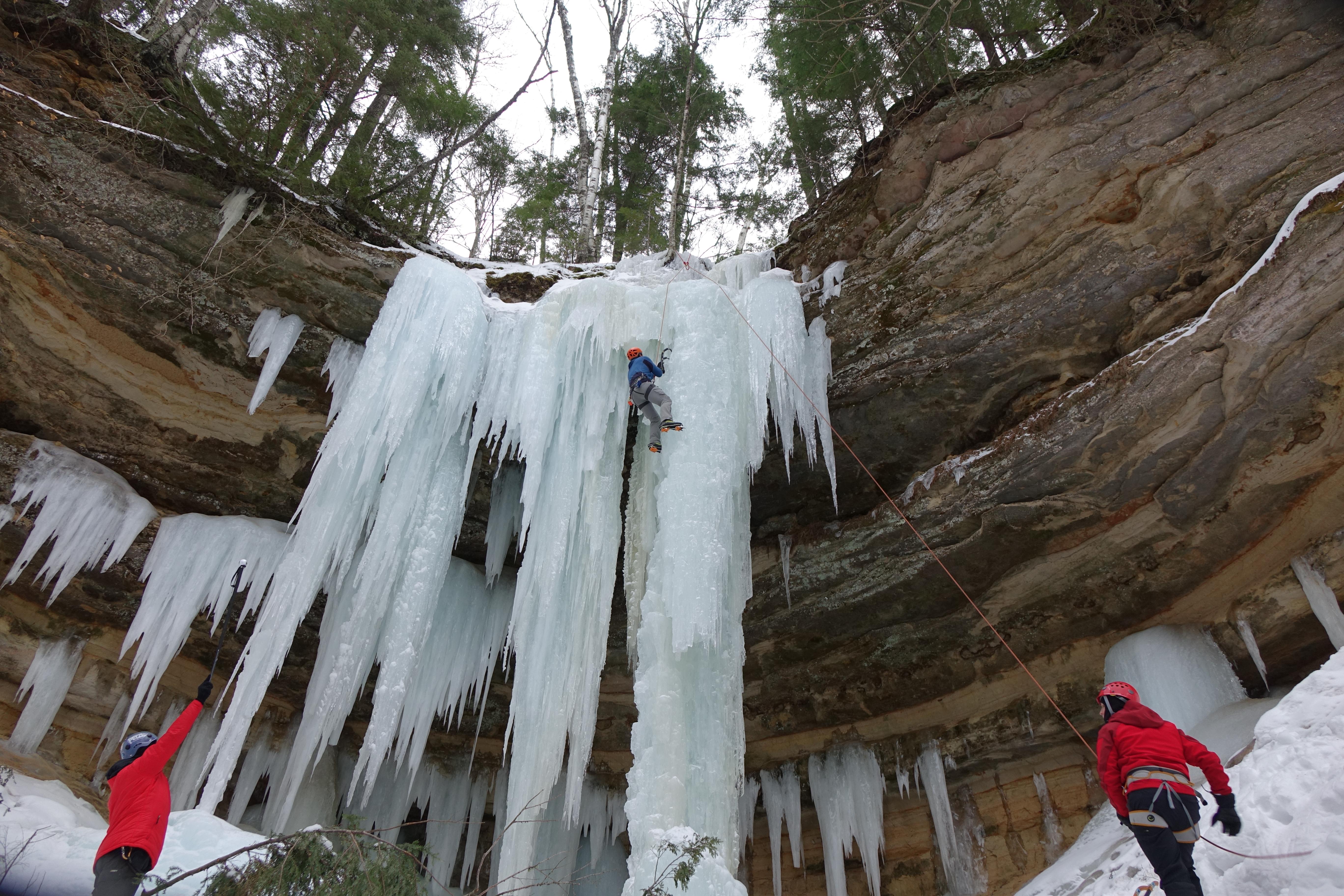
Ice climbing is a popular winter activity.
Miners Falls
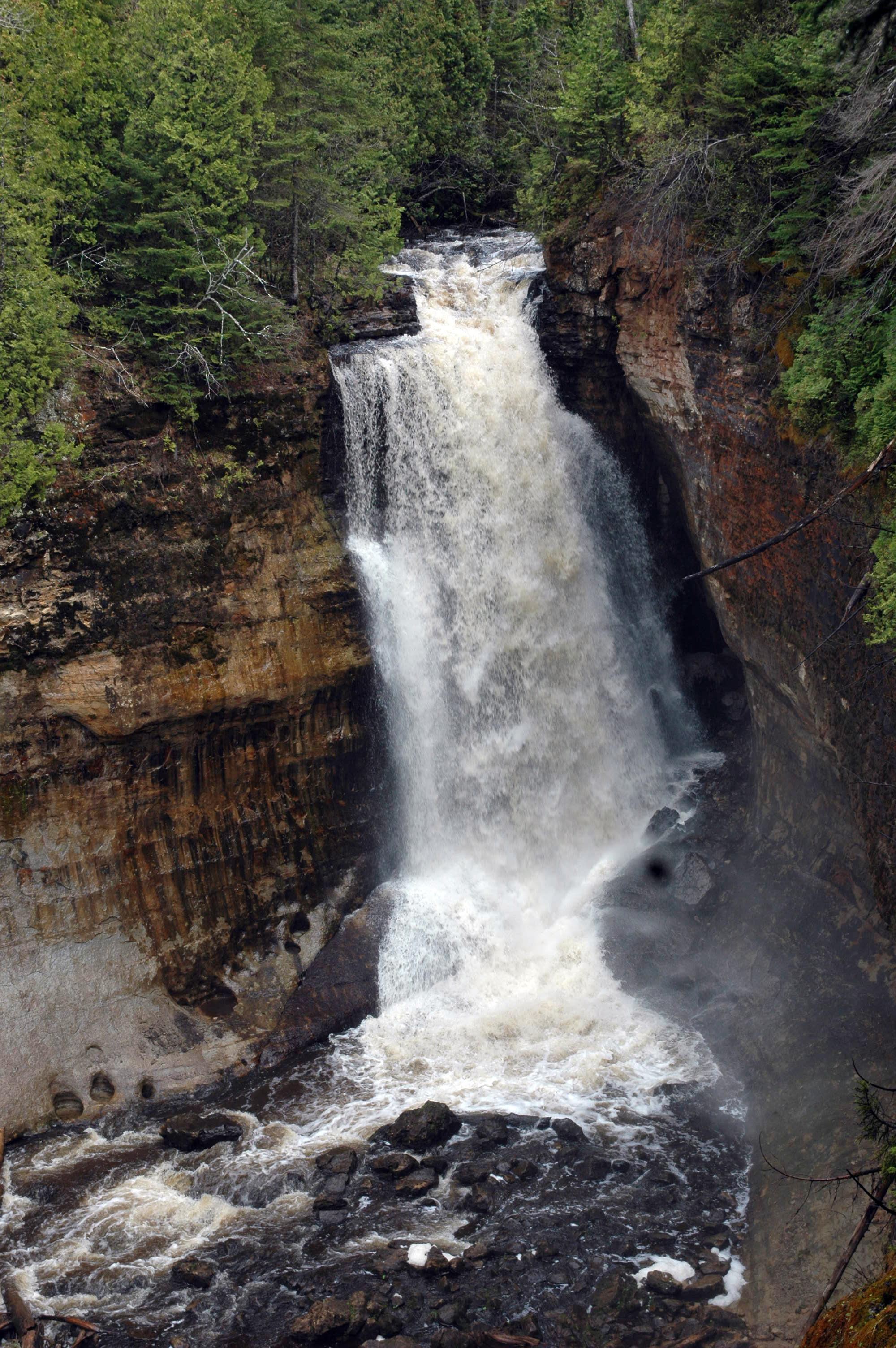
Water flowing over Miners Falls
Miner's Castle
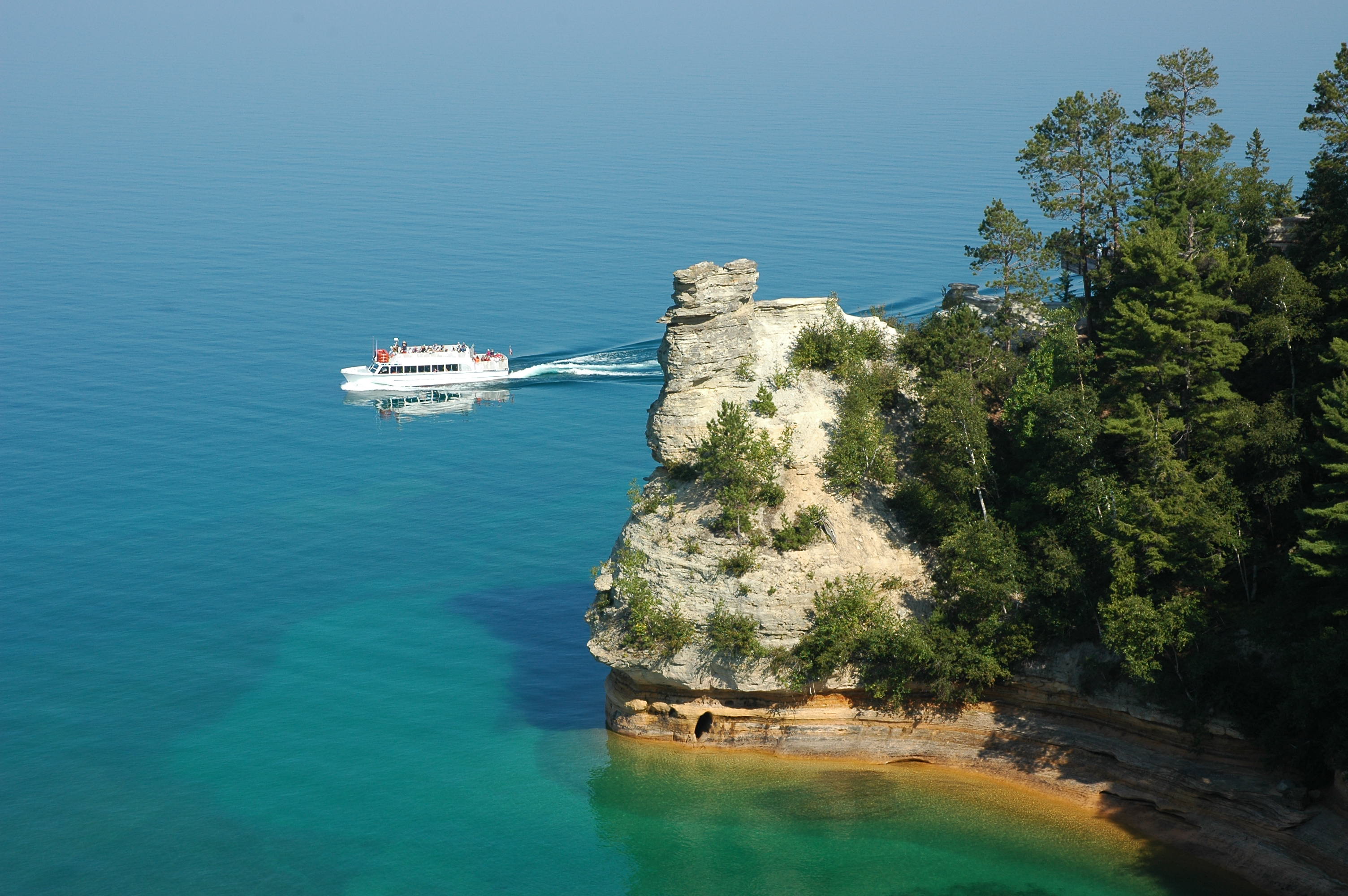
View the Miner's Castle rock formation from the adjacent cliffs or from a boat.
Pictured Rocks Cliffs along the Chapel / Mosquito Loop
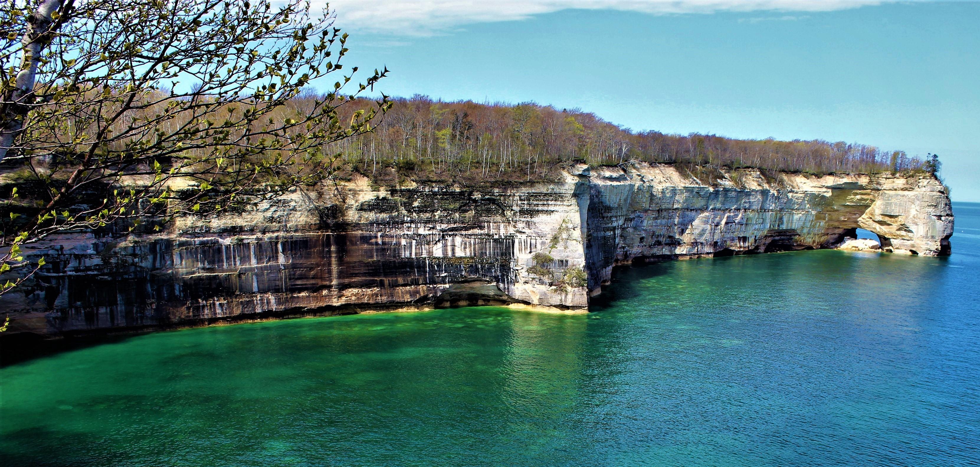
Springtime along the Chapel / Mosquito hiking loop