Lower Delaware National Wild and Scenic River
The largest free-flowing river in the eastern United States, the Delaware River runs past forests, farmlands, and villages, and it also links some of the most densely populated regions in America. In 2000, the National Wild and Scenic River System incorporated key segments of the lower Delaware River to form this unit of the National Park System.
The Lower Delaware National Wild and Scenic River is located between Interstate 80 (at Portland, Pennsylvania and Columbia, New Jersey) and Interstate 95 (at exit 51 in Washington Crossing, Pennsylvania and exit 1 in Washington Crossing, New Jersey). In Pennsylvania, follow PA-611 and PA-32 to drive along the river. In New Jersey, follow NJ-29 south of Frenchtown for a drive along the river.
- Auto and ATV
- Scenic Driving
- Boating
- Camping
- Fishing
- Food
- Picnicking
- Hiking
- Paddling
- Junior Ranger Program
- American Revolution
- Military
- Transportation
- Canals
- Wars and Conflicts
- American Revolutionary War
- Animals
- Forests and Woodlands
- Geology
- River and Riparian
- Scenic Views
- Trails
- Wetlands
Delaware Canal at Raubsville, Locks 22 & 23
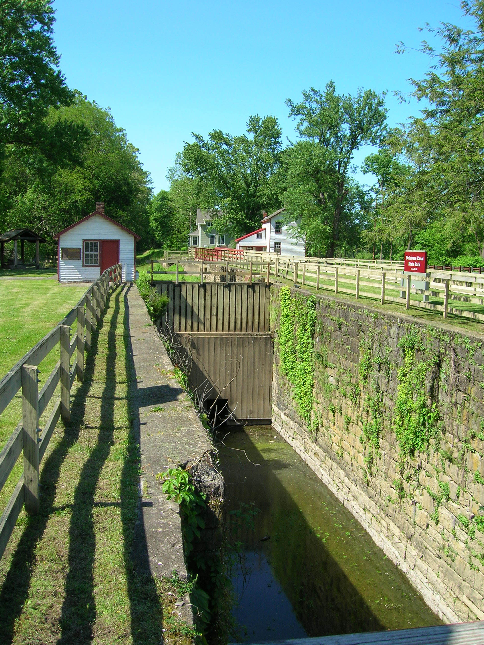
Locks were used to move boats overland via canals
Raven Rock Bridge
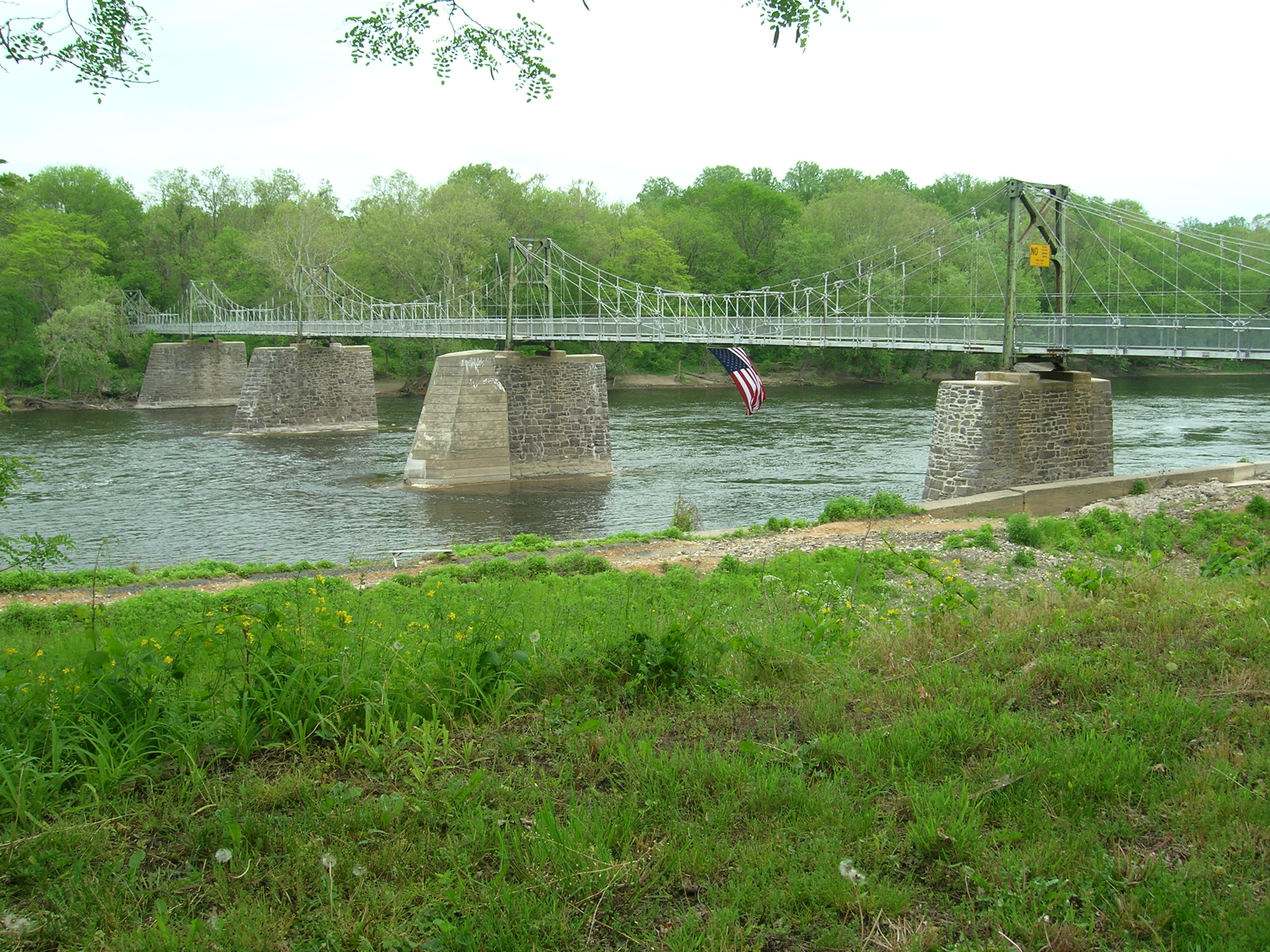
The Bridge from Lumberville, PA to Bulls Island Recreation Area, NJ
Delaware River Sojourners
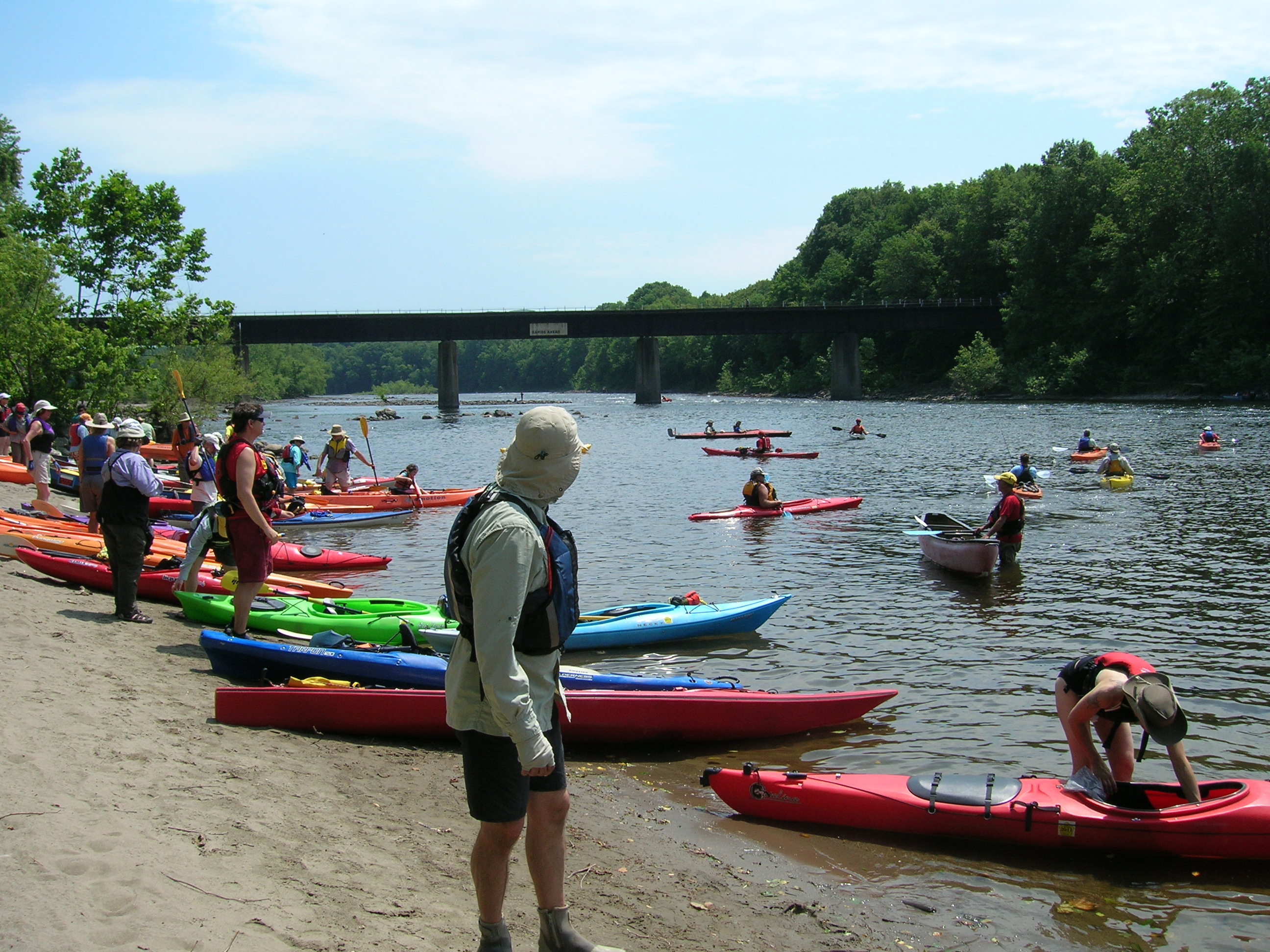
Sojourners enter the river at Martins Creek, PA
Red Admiral Butterfly
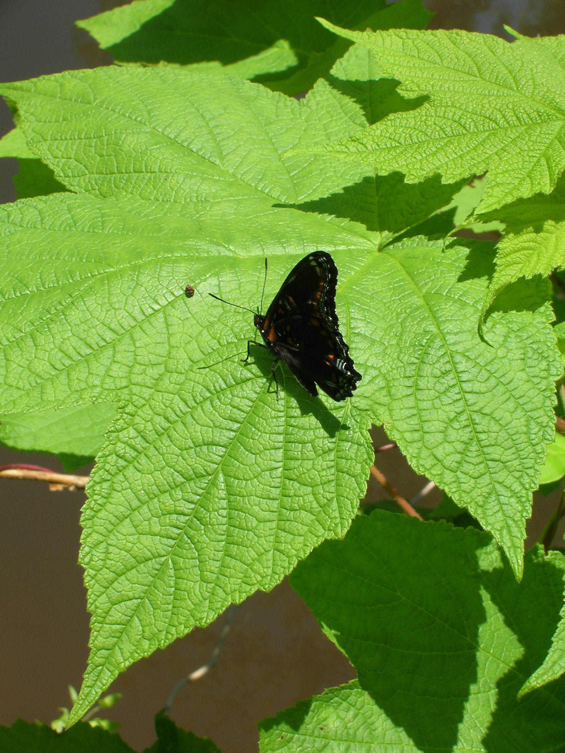
Butterfly at Delaware Canal State Park near Upper Black Eddy, PA
Ringing Rocks County Park
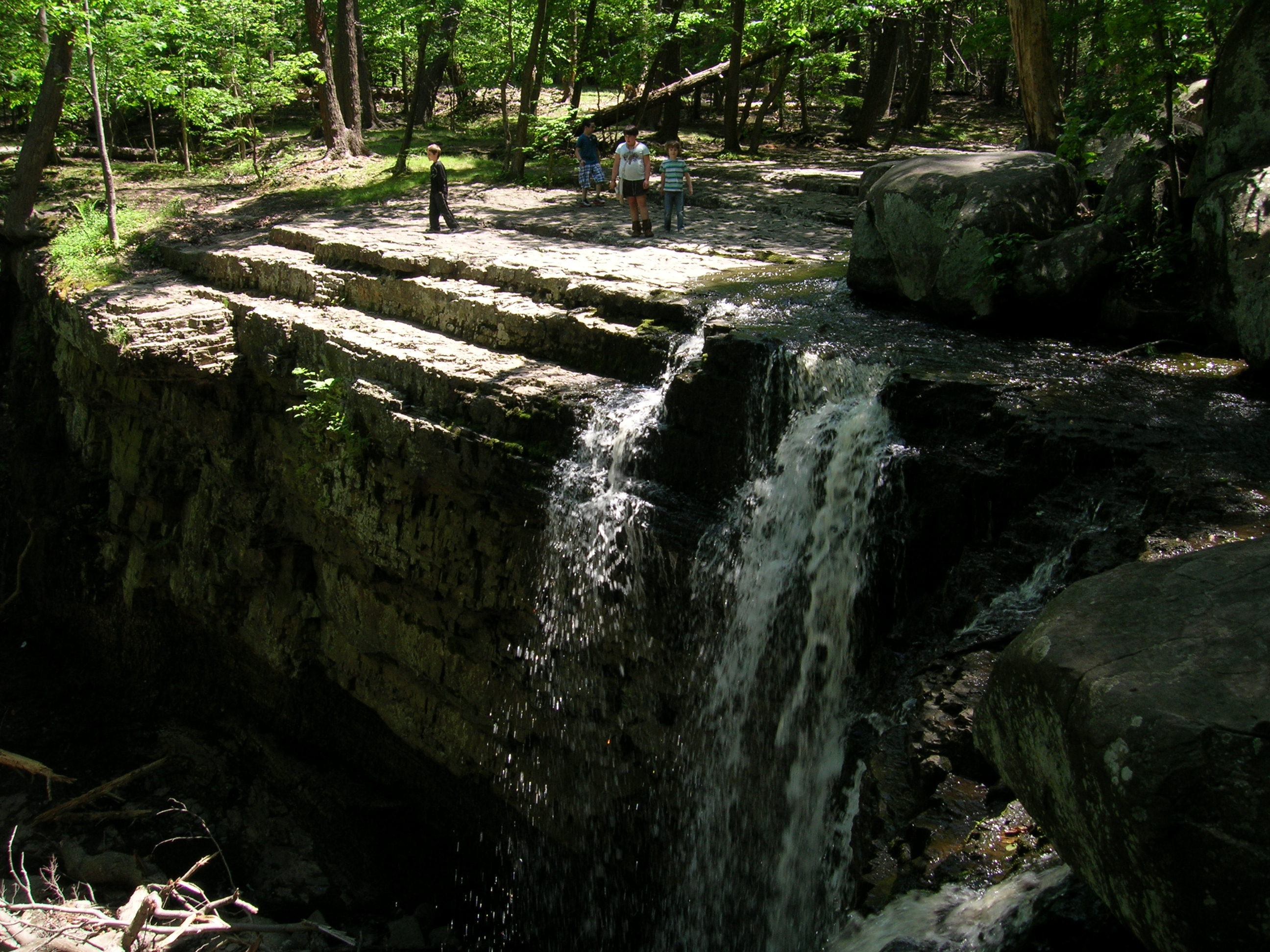
Visitors overlook the waterfall