Fort Bowie National Historic Site
Fort Bowie witnessed almost 25 years of conflict between the Chiricahua Apache and the US Army, and remains a tangible connection to the turbulent era of the late 1800s. Explore the history of Fort Bowie and Apache Pass as you hike to the visitor center and old fort ruins. Today, this peaceful landscape stands in stark contrast to the violence that once gripped this land.
From Willcox, AZ / points west on I-10: drive 23 miles east of Willcox on Interstate 10 to the the town of Bowie. Exit at the first Bowie exit and drive through the town. Follow the signs for Fort Bowie National Historic Site and turn south on Apache Pass Road. Drive 13 miles to the Fort Bowie Trailhead (the last mile of the road is unpaved). Be prepared to walk the three miles round trip to the ruins and back to your car.
- Hiking
- Front-Country Hiking
- Horse Trekking
- Horseback Riding
- Junior Ranger Program
- Wildlife Watching
- Birdwatching
- Shopping
- Bookstore and Park Store
- Burial, Cemetery and Gravesite
- Forts
- Military
- US Army
- Native American Heritage
- Wars and Conflicts
- Indian and Frontier Wars
- Animals
- Birds
- Groundwater
- Freshwater Springs
Fort Bowie Ruins
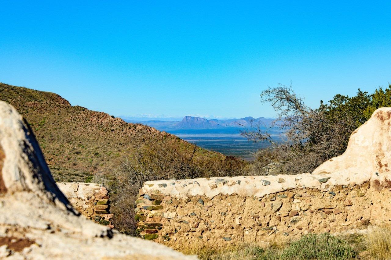
San Simon Valley can be seen just beyond the ruins of the cavalry barracks.
Mountain howitzer
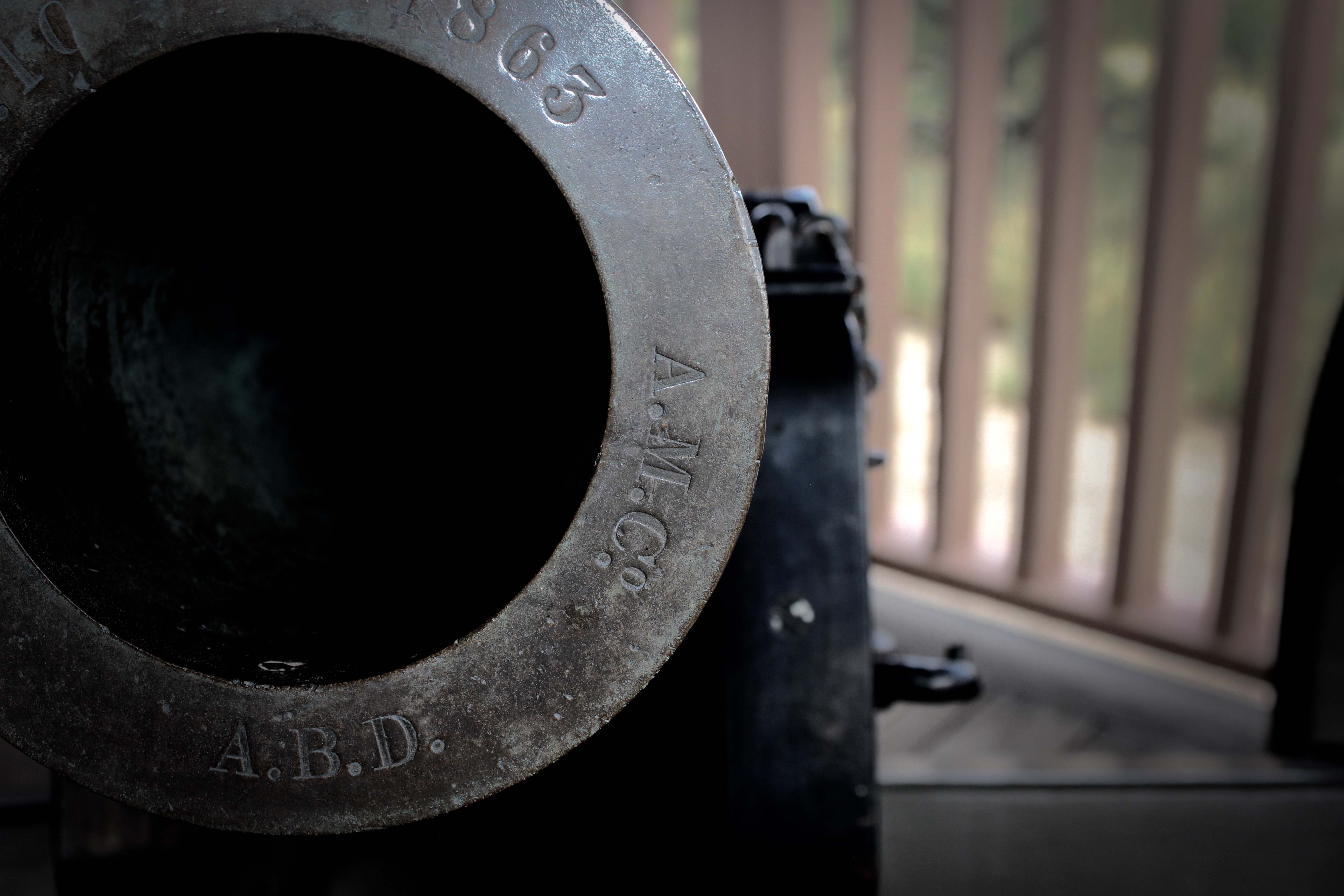
The mountain howitzer is a symbolic relic from the active days of Fort Bowie
Post Trader's Store
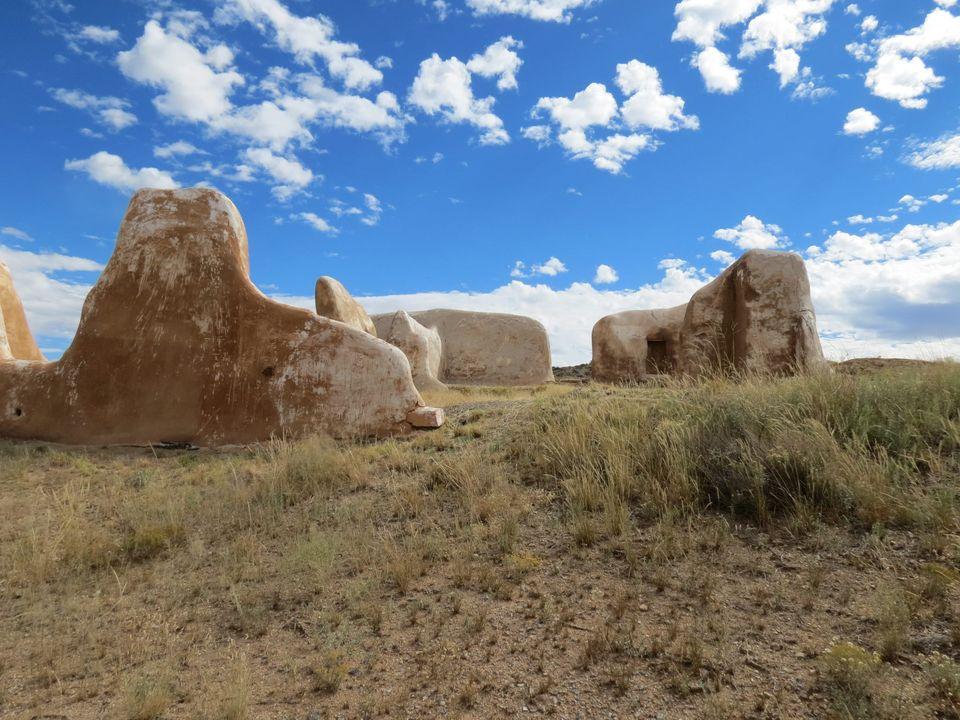
The Post Trader's store on a spring day.
Fort Bowie landscape and ruins
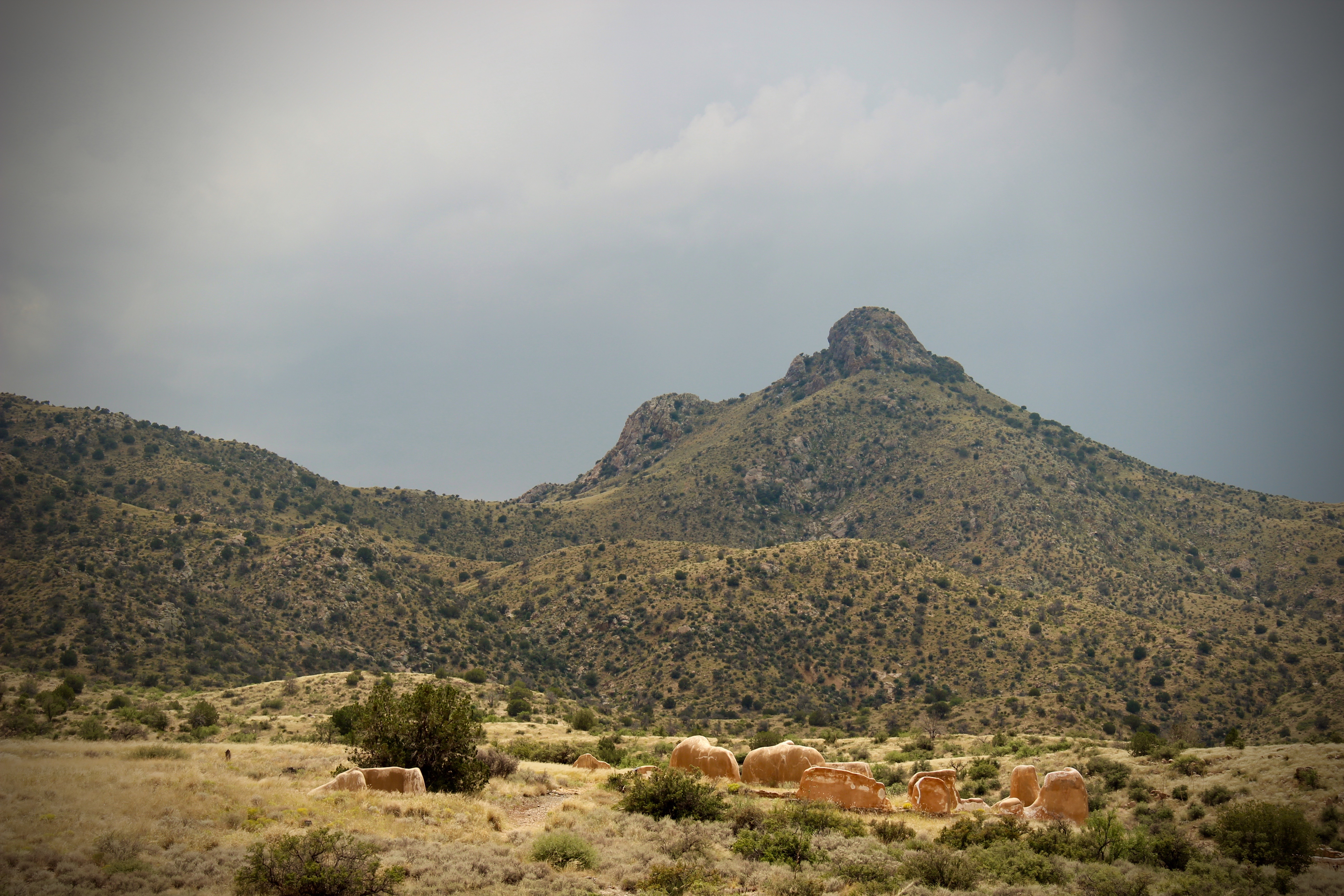
Fort Bowie was once a bustling frontier military fort. Today, the ruins offer a place of reflection.
Fort Bowie Cemetery
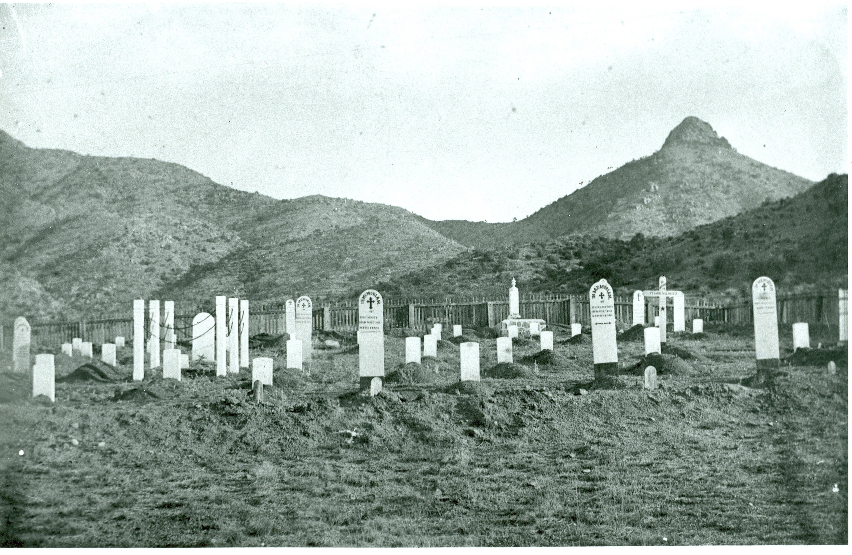
Fort Bowie cemetery is accessed via the Fort Bowie Trail, and in addition to many US troops buried here, some Apache/Indeh are buried here as well.
Heliograph demonstration
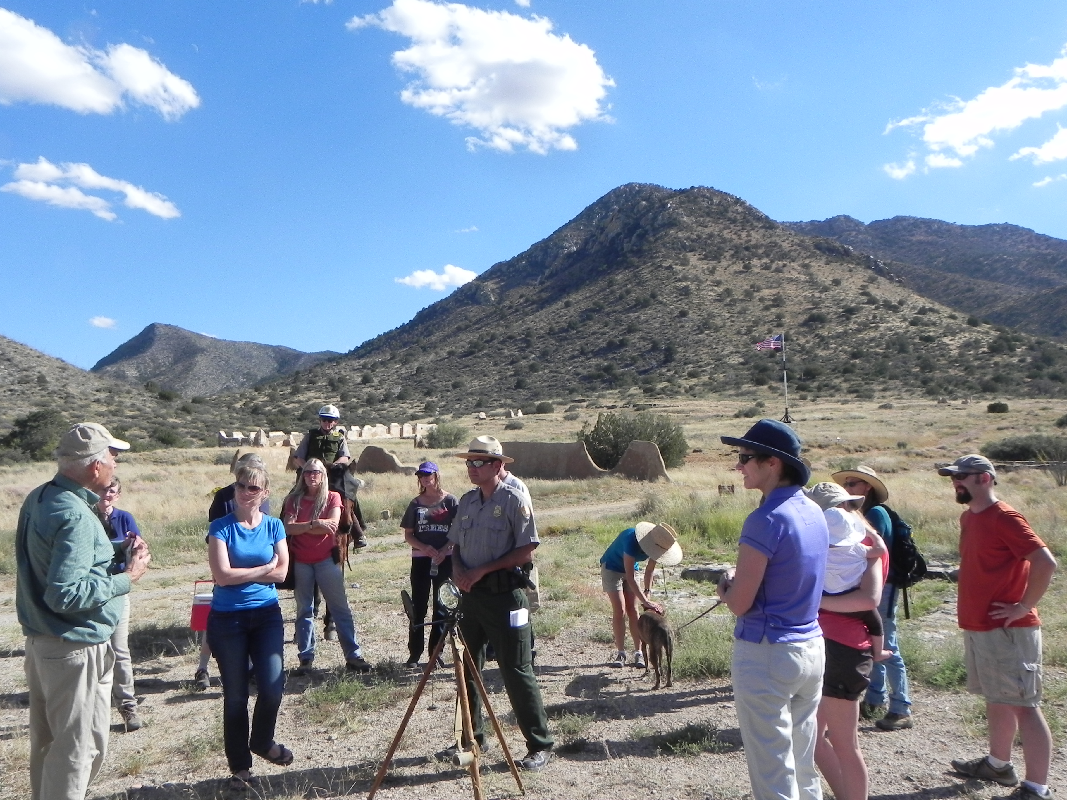
The heliograph was an important communications tool in the late 1880s. Stationed on top of high desert peaks, sunlight was reflected off mirrors in coded patterns to send a message miles away.