El Morro National Monument
Imagine the refreshment of finding water after days of dusty travel. A reliable waterhole hidden at the base of a sandstone bluff made El Morro (the headland) a popular campsite for hundreds of years. Here, ancestral Puebloans, Spanish, and American travelers carved over 2,000 signatures, dates, messages, and petroglyphs. Make El Morro National Monument a stopping point on your travels.
From Albuquerque, NM, or from the east: take Interstate 40 west to Grants. At exit 81, go south on Highway 53 for 42 miles to El Morro National Monument. From Flagstaff, AZ, or from the west: take Interstate 40 east to Gallup. At exit 20, go south on Highway 602 for about 31 miles. Turn east (left) onto Highway 53. El Morro is 25 more miles.
- Arts and Culture
- Astronomy
- Stargazing
- Camping
- Car or Front Country Camping
- RV Camping
- Food
- Picnicking
- Guided Tours
- Self-Guided Tours - Walking
- Hiking
- Junior Ranger Program
- Park Film
- Museum Exhibits
- Shopping
- Bookstore and Park Store
- Archeology
- Ruins
- Military
- US Army
- Schools and Education
- Westward Expansion
- Animals
- Birds
- Forests and Woodlands
- Geology
- Trails
El Morro with Sunflowers
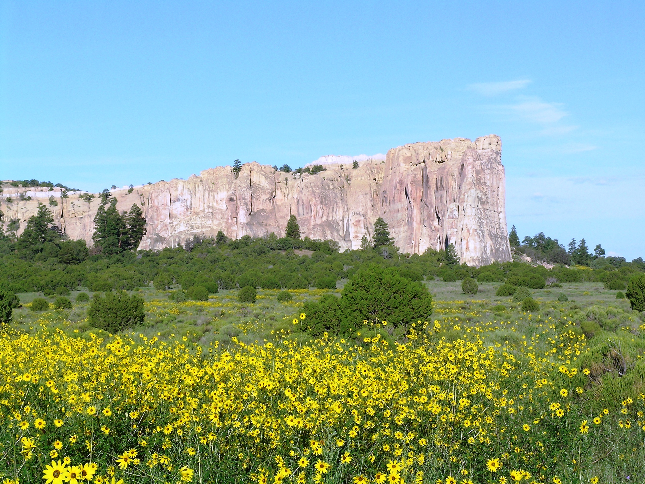
El Morro with Sunflowers
Pool at El Morro
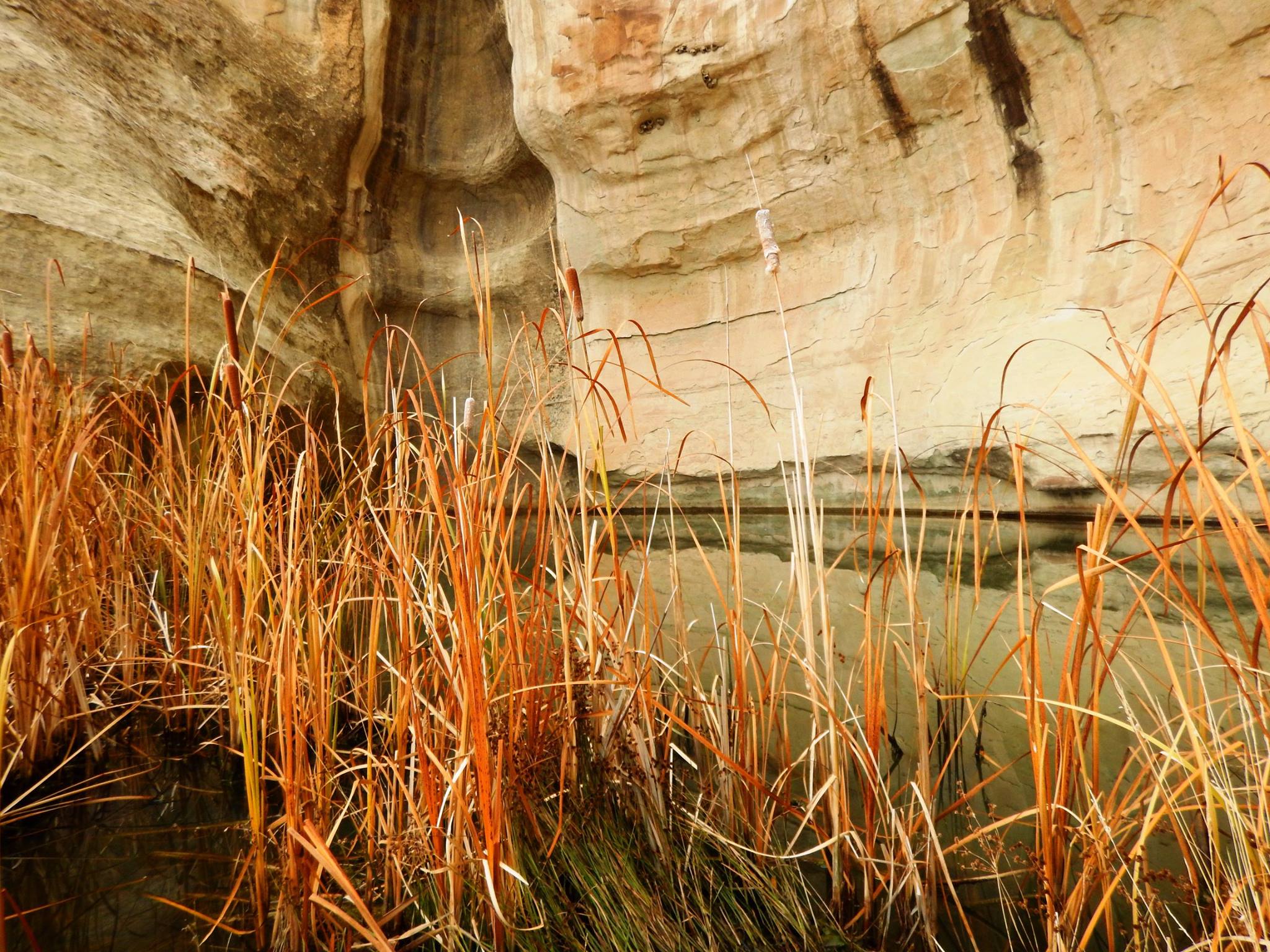
A drinking hole for visitors for hundreds of years, the pool at El Morro has significant cultural and historical value.
Trail at El Morro
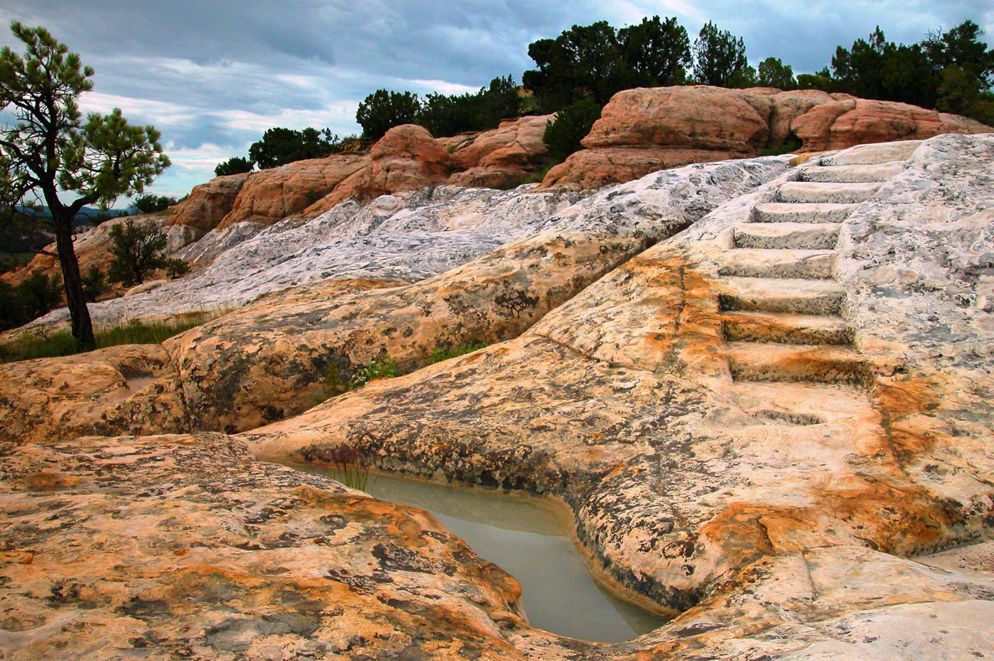
Constructed by the CCC, the historic headland trail at El Morro offers visitors great views and the archaeological site of Atsinna.
Atsinna Pueblo
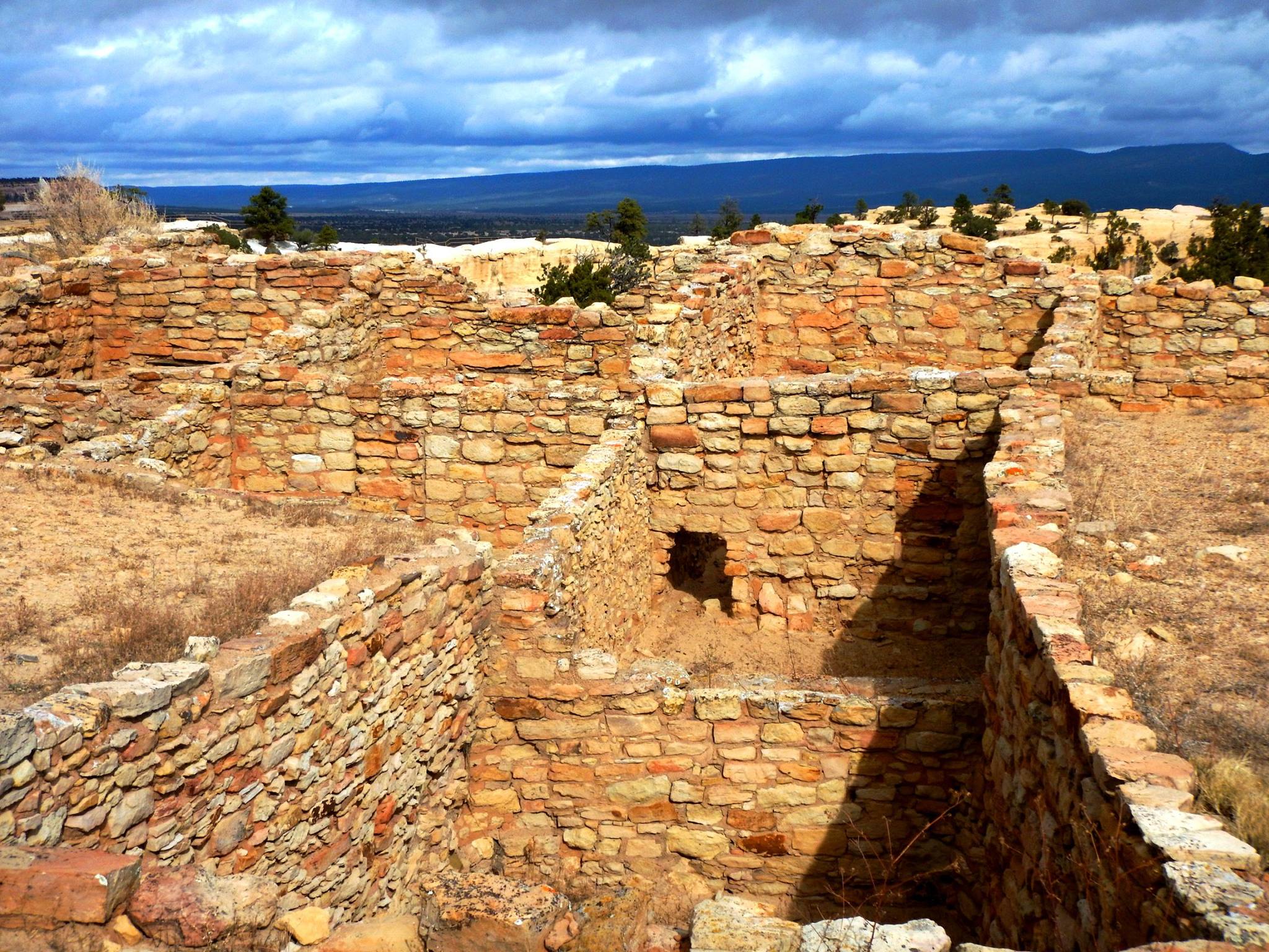
Atsinna Pueblo sits atop the headland at El Morro
El Morro in snow
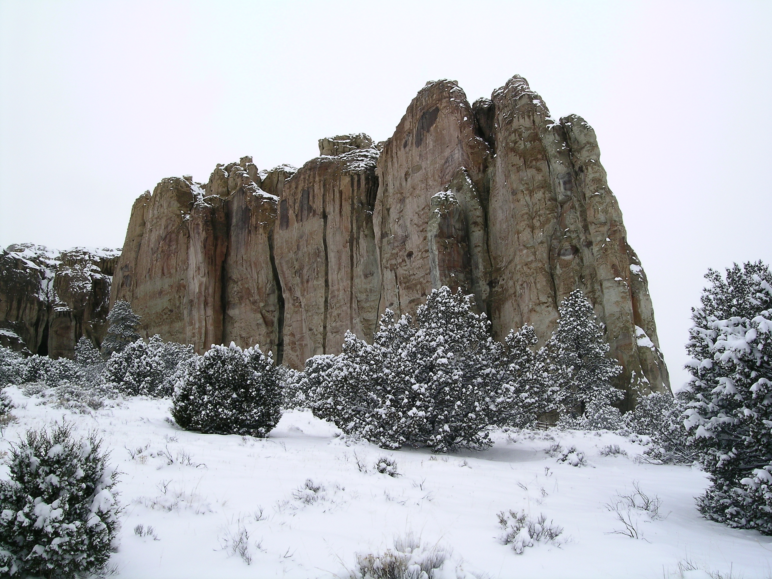
El Morro blanketed with snow