Cumberland Island National Seashore
St Marys is the gateway to Cumberland Island, Georgia's largest and southernmost barrier island. Here pristine maritime forests, undeveloped beaches and wide marshes whisper the stories of both man and nature. Natives, missionaries, enslaved African Americans and Wealthy Industrialists all walked here. Cumberland Island is also home to over 9,800 acres of Congressionally designated Wilderness.
Cumberland Island is only accessible by ferry or private boat. These directions are to the mainland visitor center in St. Marys, GA. Driving Directions To reach the visitor center from Interstate 95: • Take Exit 3 for US 40 • Take US 40 East toward “Historic Downtown St. Marys” • US 40 becomes Osborne Rd. Continue on until you reach the waterfront • Turn right on St. Marys Rd • The visitor center will be two blocks down on your left (113 St. Marys St W, St Marys GA 31558)
- Biking
- Boating
- Camping
- Guided Tours
- Hiking
- Hunting and Gathering
- Hunting
- Swimming
- Saltwater Swimming
- Wildlife Watching
- Birdwatching
- Animals
- Fire
Vegetated Dunes
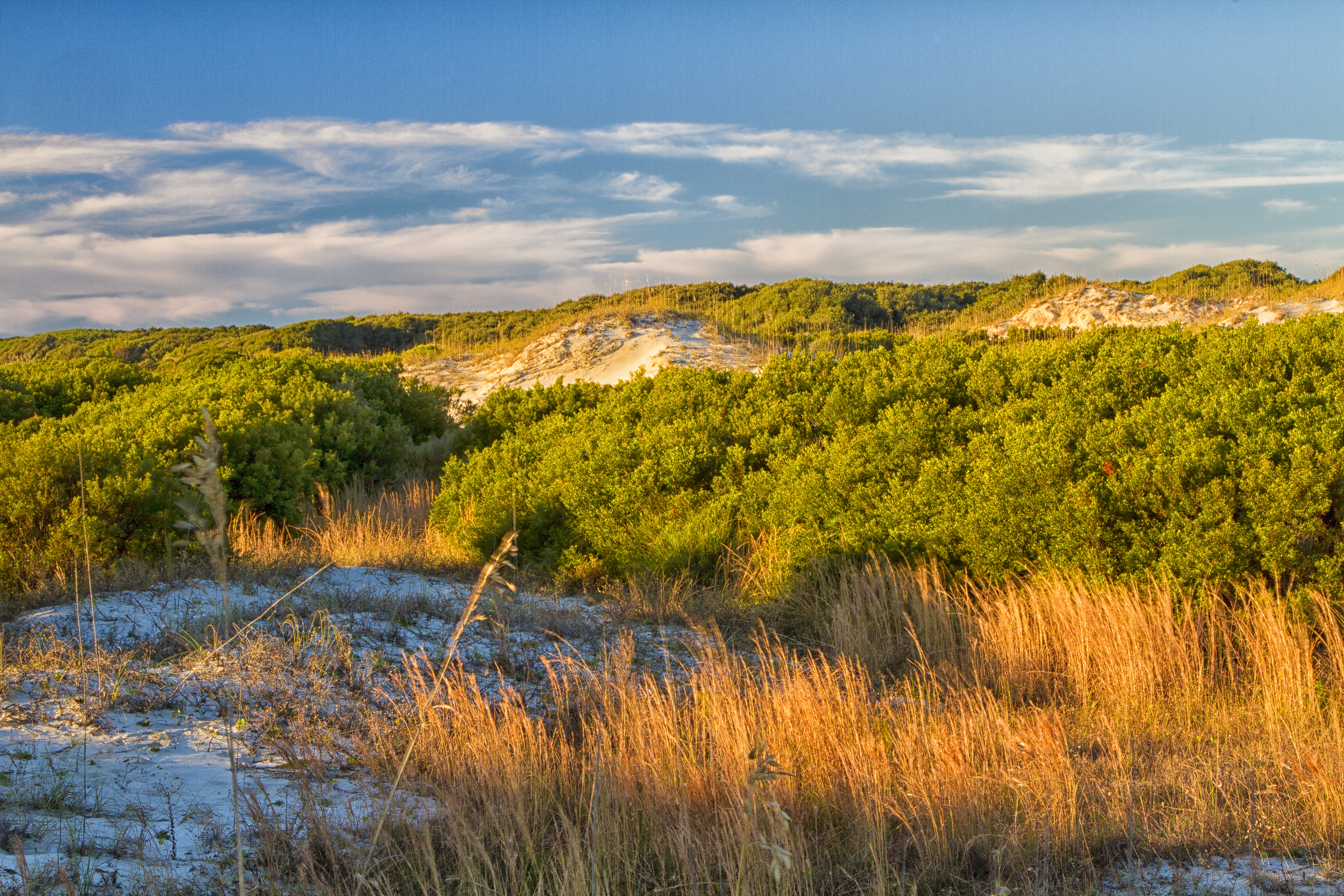
Vegetation holds dunes in place providing a barrier to erosion forces and creating essential interdune meadows to support island life.
Home To Wildlife
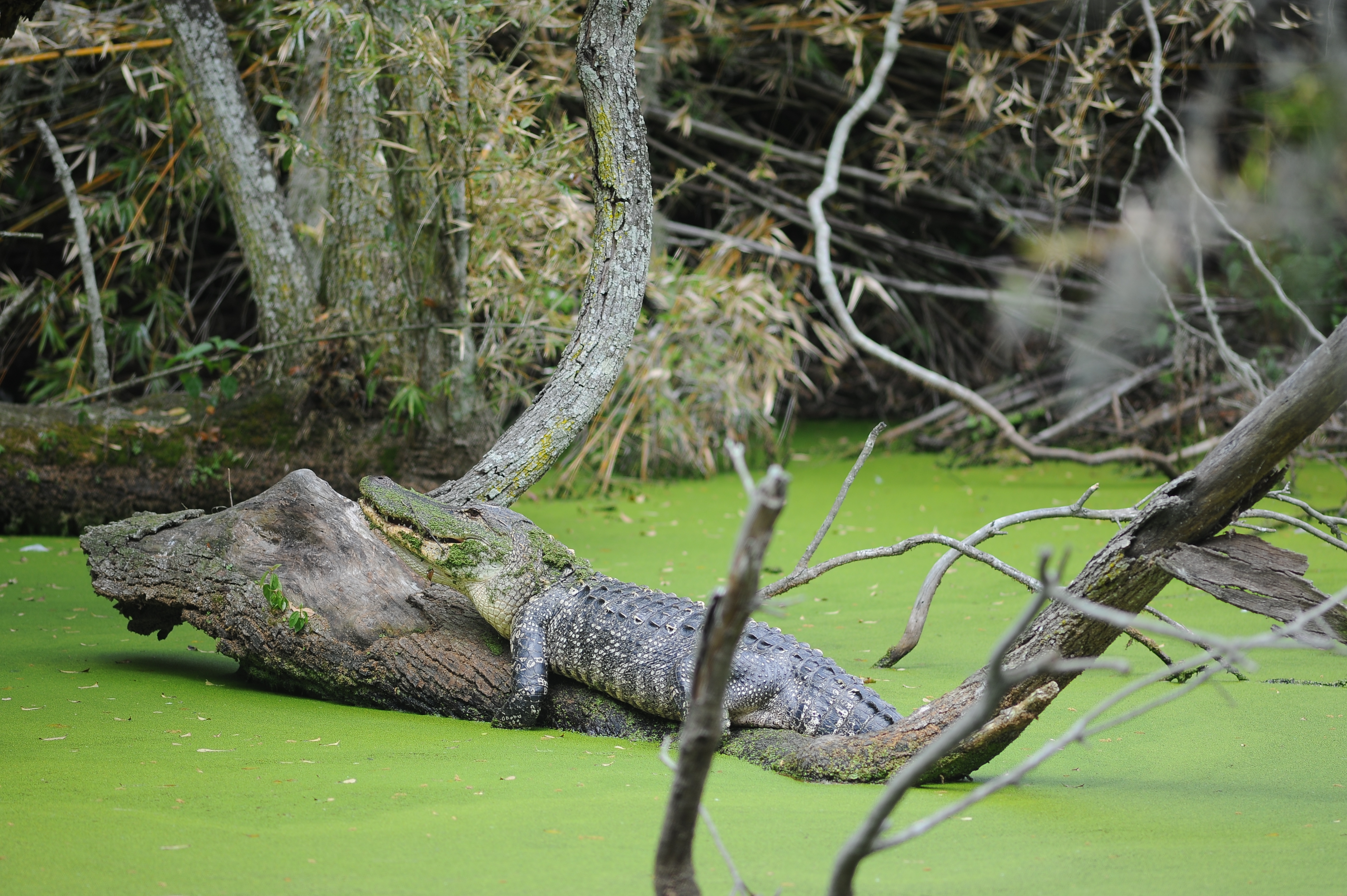
Cumberland Island National Seashore encompasses a variety of forest, marsh, and coastal landscapes providing a home for numerous species including American Alligators.
Undeveloped Coast
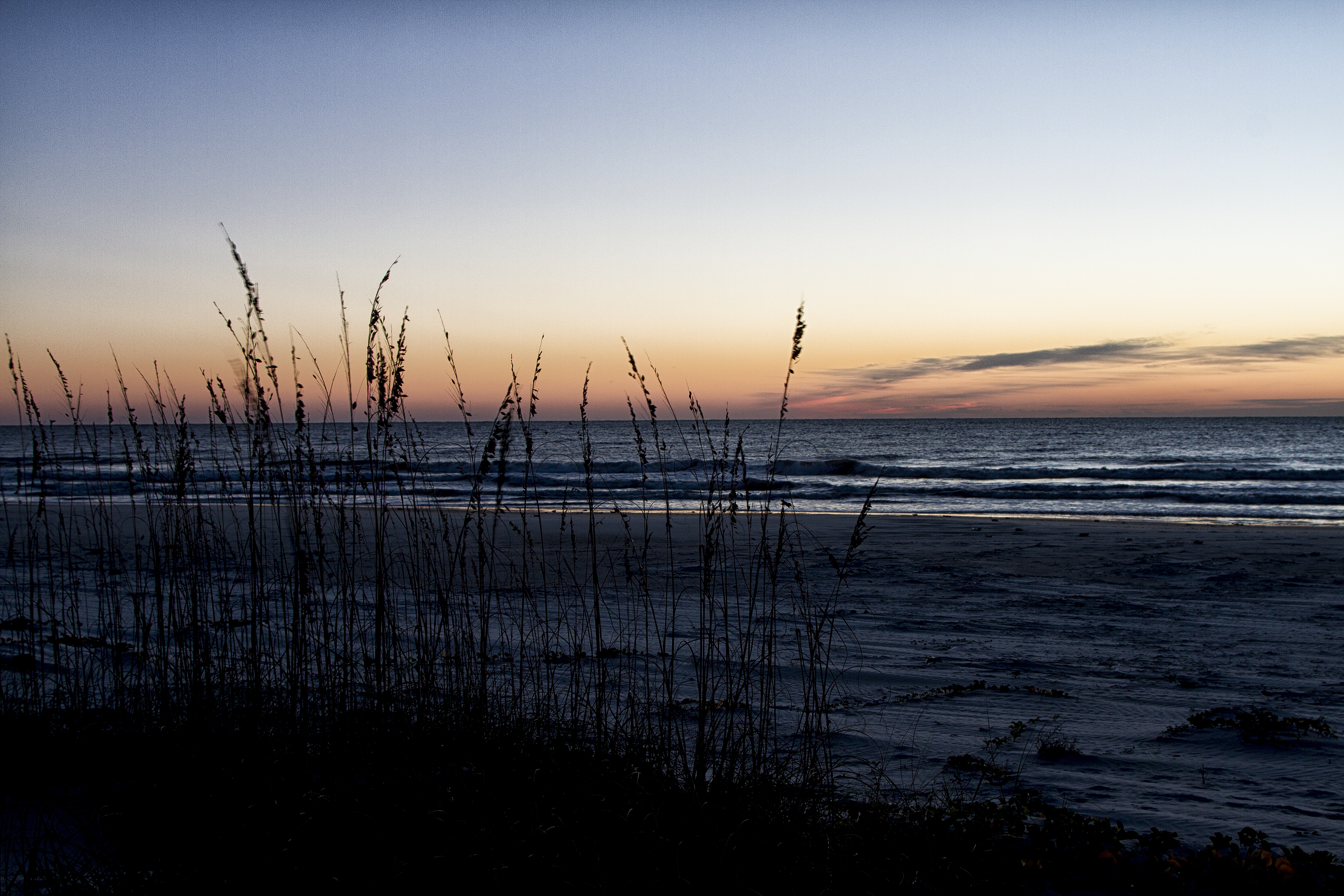
Cumberland Island National Seashore encompasses nearly 18 miles of undeveloped beach offering recreation for visitors and essential nesting area for birds and sea turtles.
Plum Orchard Mansion
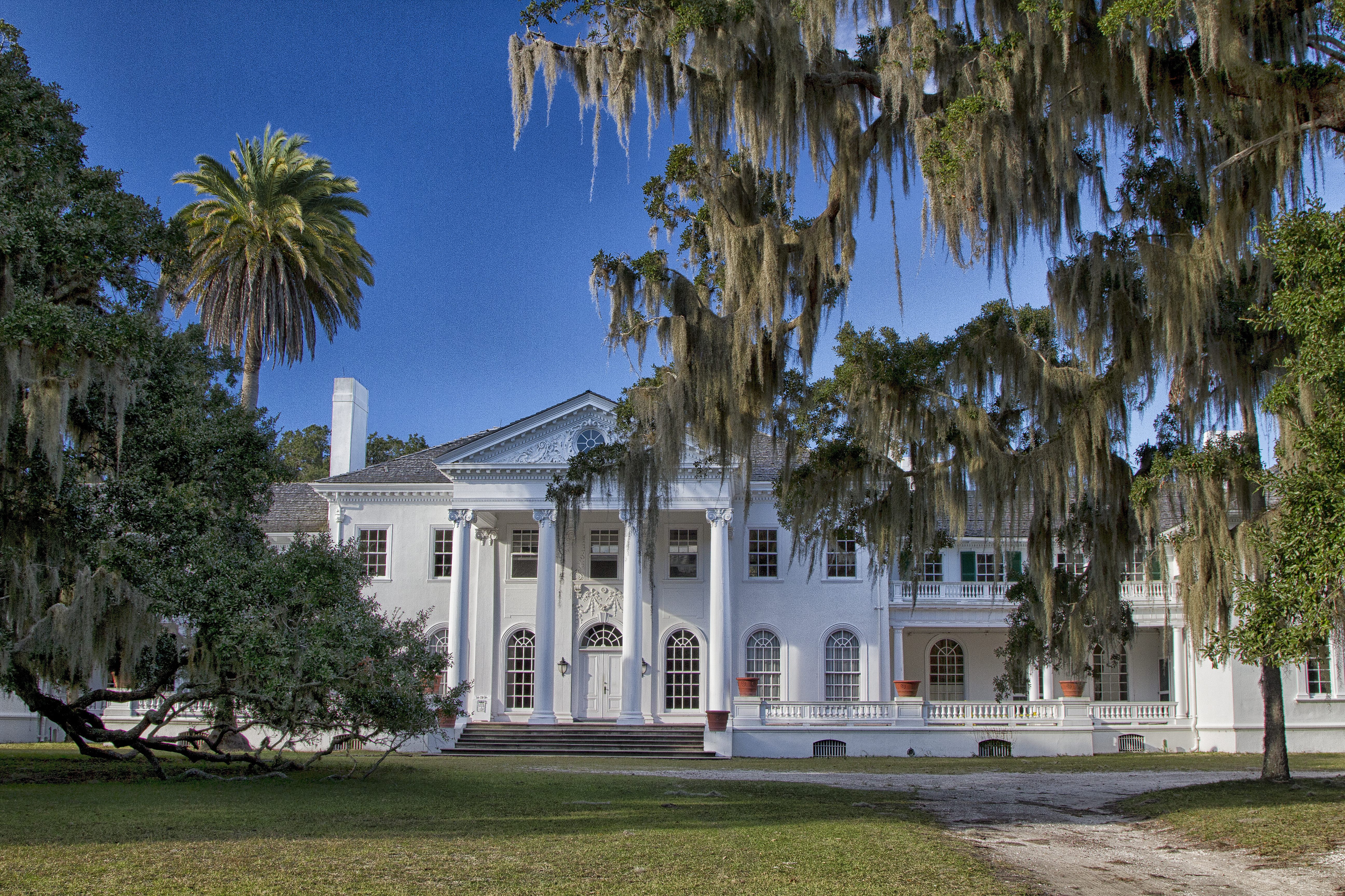
Visitors can take a guided tour of the Plum Orchard Mansion and experience the luxuries of Victorian high society as well as the effort and ingenuity it took to make it possible.
Island Bluffs Shaped By Tides
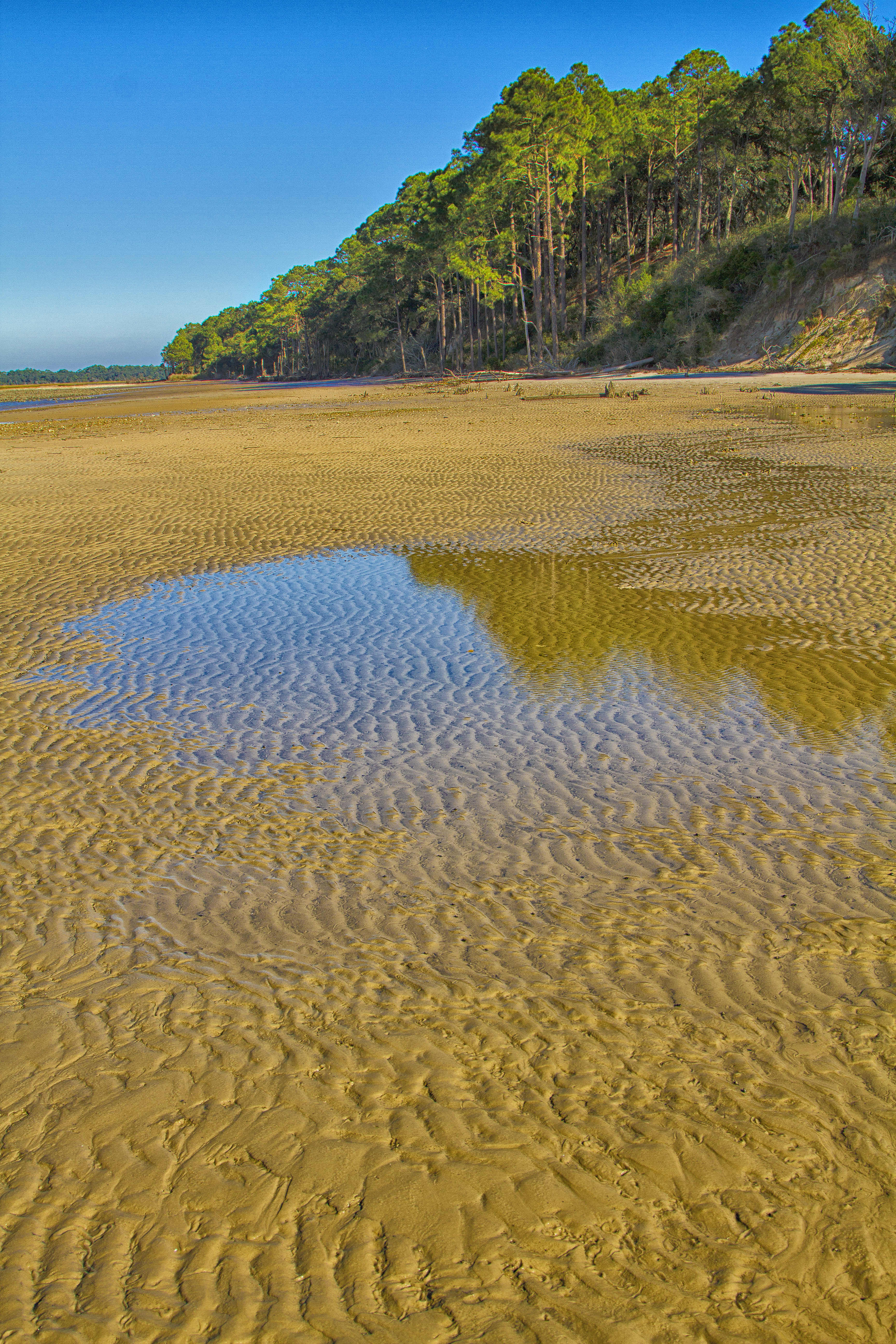
Tidal forces continue to shape the land today as they have for thousands of years forming high bluffs used for fortifications and ship docking throughout the island’s history.
Historic Main Road
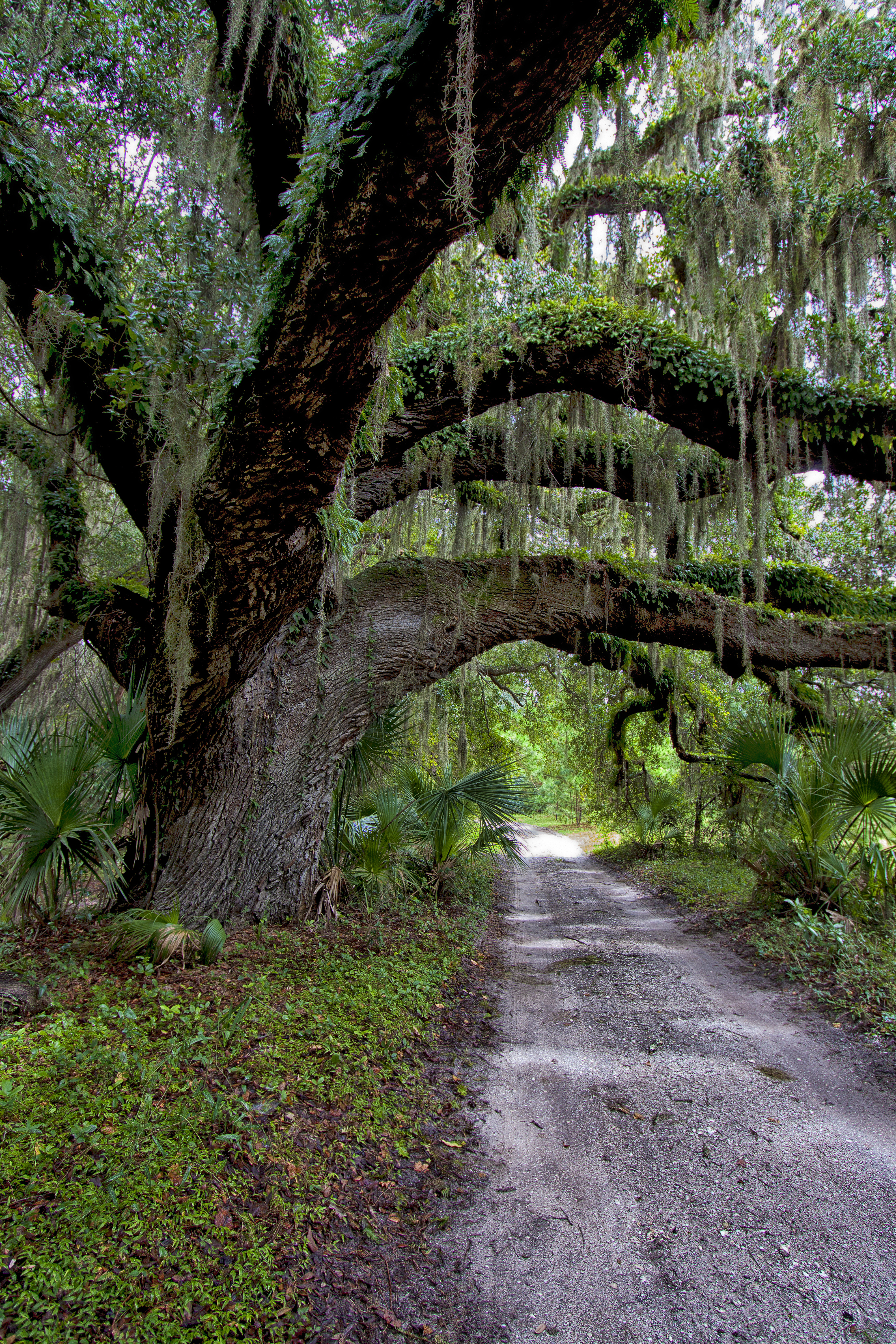
While visitors to the island cannot bring vehicles, they can travel the historic main park road by foot and bicycle. Some remaining island residents will still drive vehicles on the road to reach their residences as they have for generations.
Dungeness Ruins
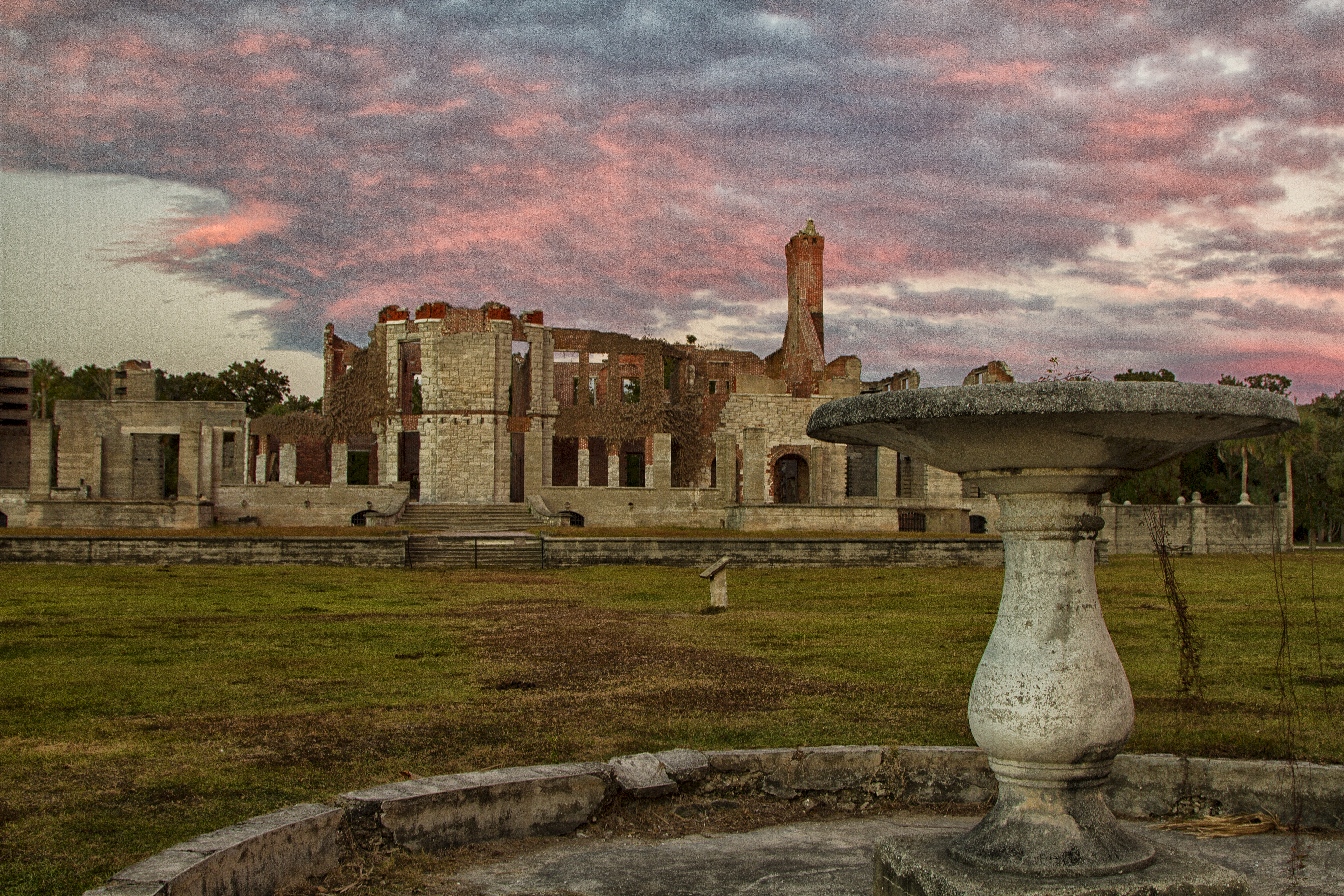
Dugeness was the largest mansion built on the island as part of the Carnegie Estate. Though lost to fire in 1959, the ruins of the mansion and several of its support structures are a reminder of the island’s rich history.
The Settlement
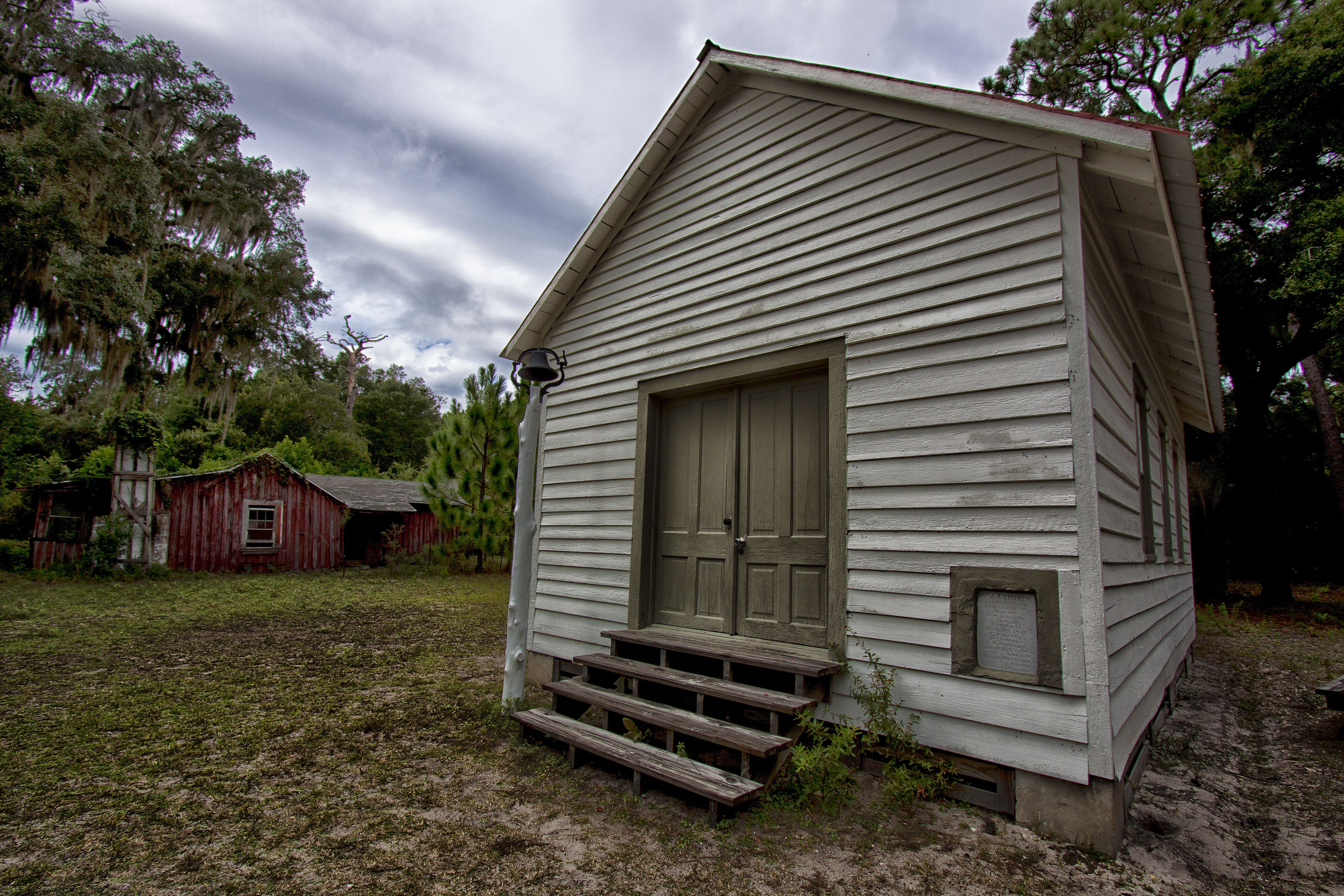
The remote north end of the island is home to the First African Baptist Church and The Settlement, where African American residents were able to purchase their first deeded property on the island at the end of the 1800s.
Tidal Creek
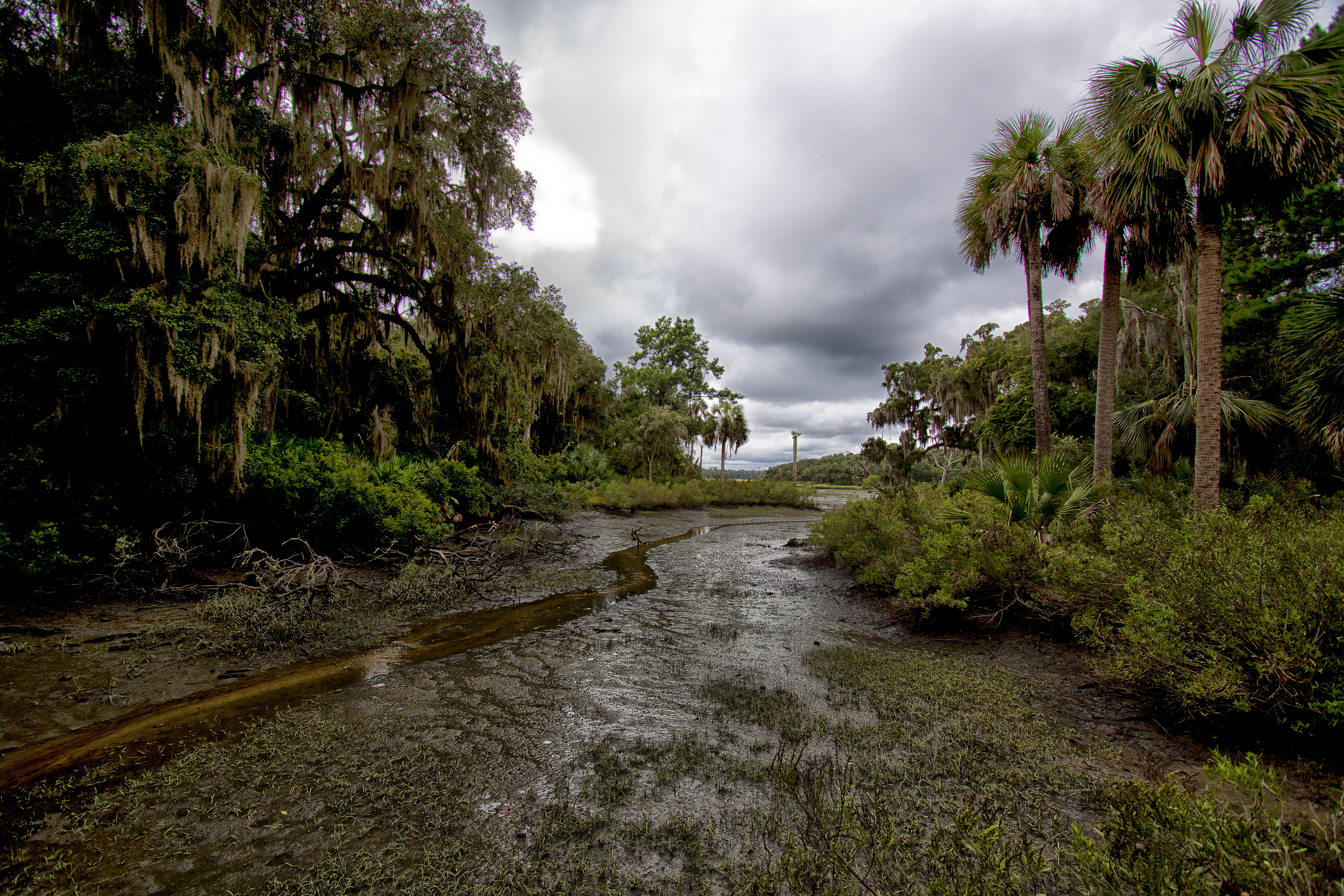
Rising tides bring valuable nutrients into tidal creeks, while receding tides remove waste. This makes the tide cycle the beating heart of the island’s tidal creeks, salt marshes, and estuaries.