Capitol Reef National Park
Located in south-central Utah in the heart of red rock country, Capitol Reef National Park is a hidden treasure filled with cliffs, canyons, domes, and bridges in the Waterpocket Fold, a geologic monocline (a wrinkle on the earth) extending almost 100 miles.
From I-70: Take exit 149, then take UT-24 west toward Hanksville; continue for 43.8 miles (70.5 km). Turn right to continue on UT-24 west and continue for 37.3 miles (60 km). From I-15: take exit 188 then US-50 east toward Scipio. Left on UT-50; continuing 0.7 miles (1.1 km). Turn right onto US-50 east; continue for 24.4 miles (39.3 km). Turn right onto UT-260 south and continue 4.2 miles (6.8 km), then right on UT-24 for 71.3 miles. UT-12: North on highway 12 to Torrey, UT. Right onto UT-24.
- Arts and Culture
- Cultural Demonstrations
- Astronomy
- Stargazing
- Biking
- Road Biking
- Camping
- Backcountry Camping
- Car or Front Country Camping
- Horse Camping (see also Horse/Stock Use)
- Group Camping
- RV Camping
- Canyoneering
- Climbing
- Rock Climbing
- Fishing
- Food
- Picnicking
- Guided Tours
- Self-Guided Tours - Walking
- Self-Guided Tours - Auto
- Hands-On
- Citizen Science
- Arts and Crafts
- Volunteer Vacation
- Hiking
- Backcountry Hiking
- Front-Country Hiking
- Off-Trail Permitted Hiking
- Horse Trekking
- Horse Camping (see also camping)
- Horseback Riding
- Living History
- First Person Interpretation
- Junior Ranger Program
- Wildlife Watching
- Birdwatching
- Park Film
- Museum Exhibits
- Shopping
- Bookstore and Park Store
- Gift Shop and Souvenirs
- Archeology
- Ruins
- Arts
- Painting
- Photography
- Colonization and Settlement
- Commerce
- Trade
- Explorers and Expeditions
- Farming and Agriculture
- Ranches
- Industry
- Mining
- Military
- Native American Heritage
- Religion and Spirituality
- Churches
- Schools and Education
- Science, Technology and Innovation
- Transportation
- Roads, Routes and Highways
- Westward Expansion
- Homesteading
- Women's History
- Ancient Seas
- Animals
- Birds
- Cats (wild)
- Elk
- Fish
- Canyons and Canyonlands
- Climate Change
- Dunes
- Foothills, Plains and Valleys
- Plateaus and Mesas
- Forests and Woodlands
- Coniferous Forests
- Deciduous Forests
- Fossils and Paleontology
- Dinosaur
- Petrified Wood
- Geology
- Mineral Deposits
- Glaciers
- Grasslands
- Night Sky
- Astronomy
- River and Riparian
- Rock Landscapes and Features
- Arches
- Scenic Views
- Thickets and Shrublands
- Trails
- Unique Species
- Rare
- Endangered
- Volcanoes
- Waterfalls
Gifford House and Pendleton Barn

Windgate sandstone towers above historic Fruita farms and homes
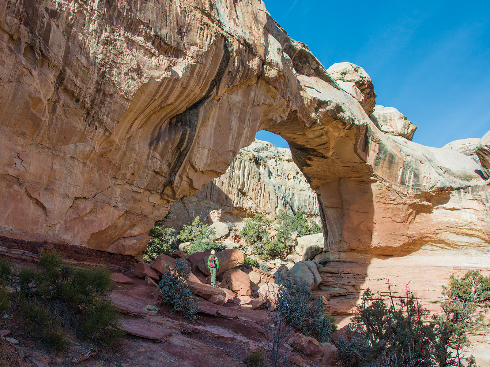
Hickman Bridge

Hickman Bridge, a natural sandstone bridge, is a popular hike in the park.
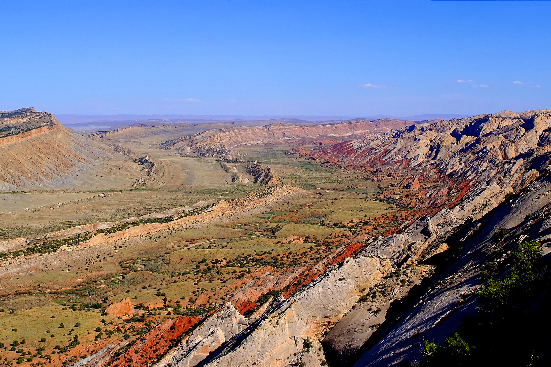
Strike Valley

The Strike Valley shows colorful layers in the Waterpocket fold.
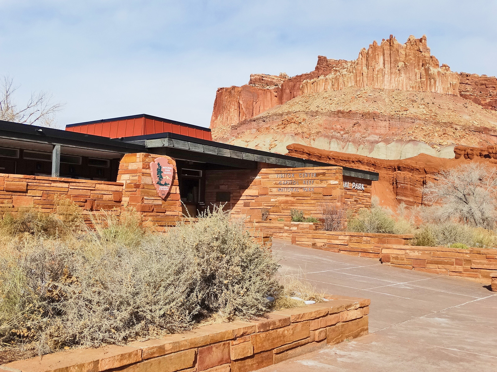
Capitol Reef Visitor Center with "The Castle"

The Capitol Reef Visitor Center sits below cliffs known as "The Castle".
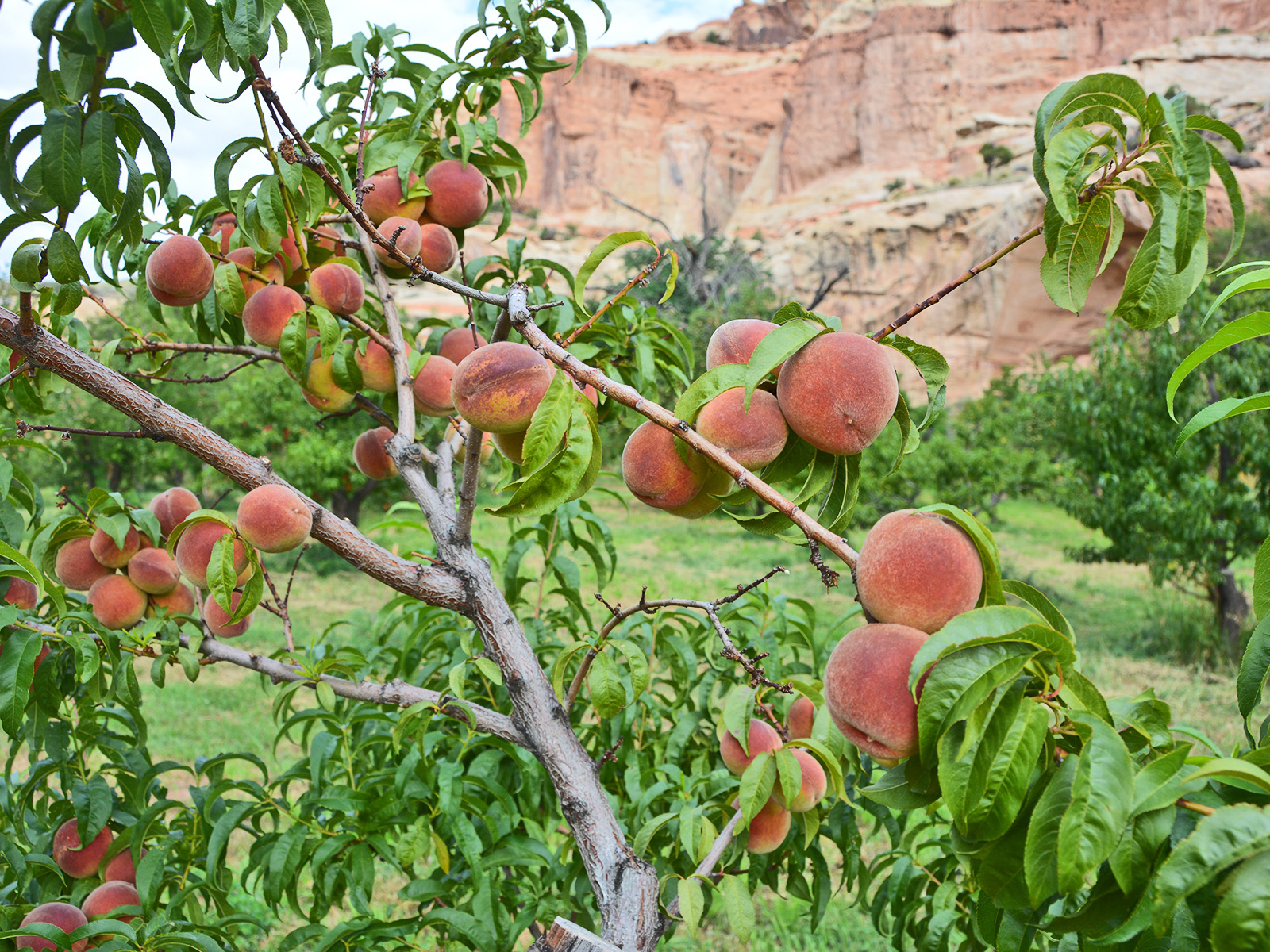
Capitol Reef Peach Orchard

The Capitol Reef Orchards, planted in the pioneer era, remain a popular place for visitors today.