Black Canyon Of The Gunnison National Park
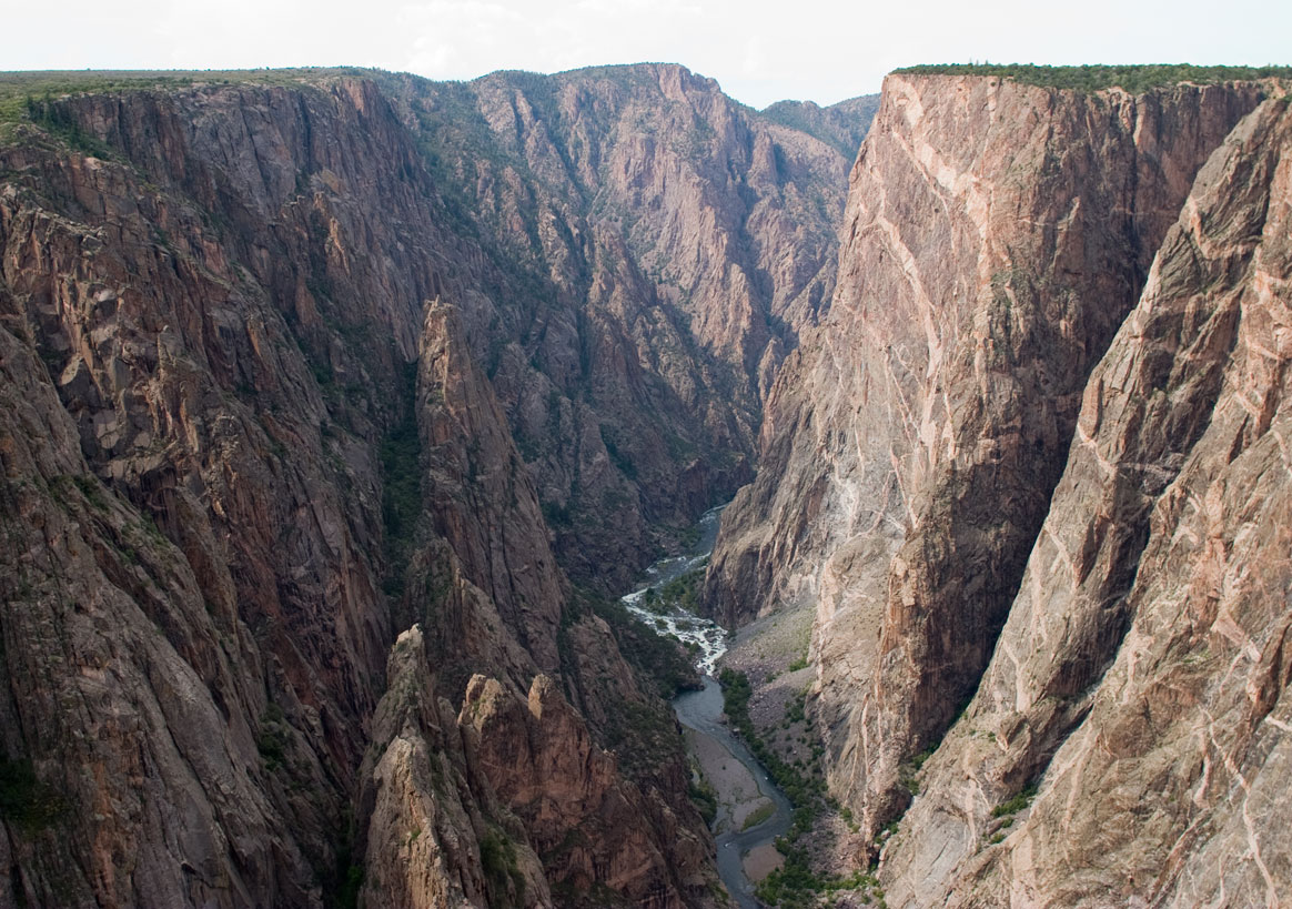
Big enough to be overwhelming, still intimate enough to feel the pulse of time, Black Canyon of the Gunnison National Park exposes you to some of the steepest cliffs, oldest rock, and craggiest spires in North America. With two million years to work, the Gunnison River, along with the forces of weathering, has sculpted this vertical wilderness of rock, water, and sky.
7 miles north on CO Highway 347 from the intersection with U.S. Highway 50 east of Montrose. Physical/GPS address is - 9800 Hwy 347, Montrose, CO 81401
- Camping
- Climbing
- Fishing
- Hiking
- Backcountry Hiking
- Horse Trekking
- Horseback Riding
- Paddling
- Kayaking
- Skiing
- Cross-Country Skiing
- Snowshoeing
- Wildlife Watching
- Explorers and Expeditions
- Transportation
- Trains and Railroads
- Animals
- Birds
- Canyons and Canyonlands
- Geology
Black Canyon near Tomichi Point

Black Canyon near Tomichi Point
Black Canyon near Painted Wall

Black Canyon near Painted Wall