Bighorn Canyon National Recreation Area
The vast, wild landscape of Bighorn Canyon National Recreation Area offers visitors unparalleled opportunities to immerse themselves in the natural world, and experience the wonders of this extraordinary place. With over 120,000 acres, one can find an astounding diversity in ecosystems, wildlife, and more than 10,000 years of human history to explore.
Bighorn Canyon has two districts that are separated by a three hour drive. To get to the North District at Fort Smith, MT from Billings,take Interstate 90 south to Hardin, MT. Turn at exit 495 onto State Highway 313 to St. Xavier and then to Fort Smith, Montana. To get to the South District at Lovell, WY from Billings, MT, take Interstate 90 west. Turn at exit 434 at Laurel, MT. Turn onto US 310 East/US 212 South. Turn at US 310 East to Lovell. The visitor center is on the east side of Lovell.
- Arts and Culture
- Theater
- Auto and ATV
- Scenic Driving
- Astronomy
- Stargazing
- Biking
- Road Biking
- Boating
- Motorized Boating
- Sailing
- Jet Skiing
- Boat Tour
- Camping
- Compass and GPS
- Fishing
- Freshwater Fishing
- Fly Fishing
- Food
- Dining
- Picnicking
- Guided Tours
- Self-Guided Tours - Walking
- Boat Tour
- Hiking
- Front-Country Hiking
- Off-Trail Permitted Hiking
- Hunting and Gathering
- Hunting
- Paddling
- Canoeing
- Canoe or Kayak Camping
- Kayaking
- Stand Up Paddleboarding
- Junior Ranger Program
- Playground
- Skiing
- Cross-Country Skiing
- Snow Play
- Snowshoeing
- Swimming
- Freshwater Swimming
- Wildlife Watching
- Birdwatching
- Park Film
- Museum Exhibits
- Shopping
- Bookstore and Park Store
- Architecture and Building
- Archeology
- Arts
- Painting
- Photography
- Poetry and Literature
- Burial, Cemetery and Gravesite
- Colonization and Settlement
- Commerce
- Dams
- Engineering
- Explorers and Expeditions
- Farming and Agriculture
- Ranches
- Forts
- Industry
- Mining
- Migrations
- Military
- Cavalry
- Indigenous and Native Warrior
- Native American Heritage
- Schools and Education
- Wars and Conflicts
- Tribal Conflicts
- Indian and Frontier Wars
- Westward Expansion
- Homesteading
- Women's History
- Ancient Seas
- Animals
- Birds
- Bison
- Cats (wild)
- Elk
- Fish
- Tortoises and Turtles
- Caves, Caverns and Karst
- Canyons and Canyonlands
- Fire
- Foothills, Plains and Valleys
- Forests and Woodlands
- Fossils and Paleontology
- Geology
- Groundwater
- Freshwater Springs
- Lakes
- Mountains
- Natural Sounds
- Night Sky
- Astronomy
- River and Riparian
- Rock Landscapes and Features
- Scenic Views
- Thickets and Shrublands
- Trails
- Water Trails
- Unique Species
- Rare
- Watersheds
- Waterfalls
- Wilderness
Yellowtail Dam (Fort Smith, MT District)
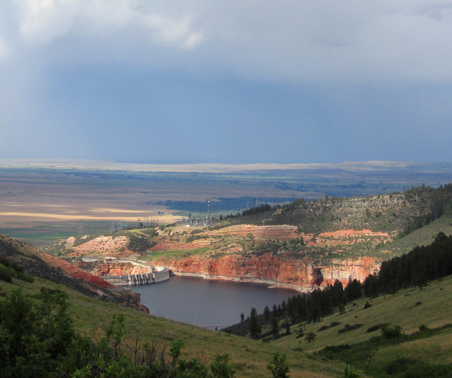
Summer view of the Yellowtail Dam from the Ok-A-Beh road. (Fort Smith, MT District)
Spring Cactus
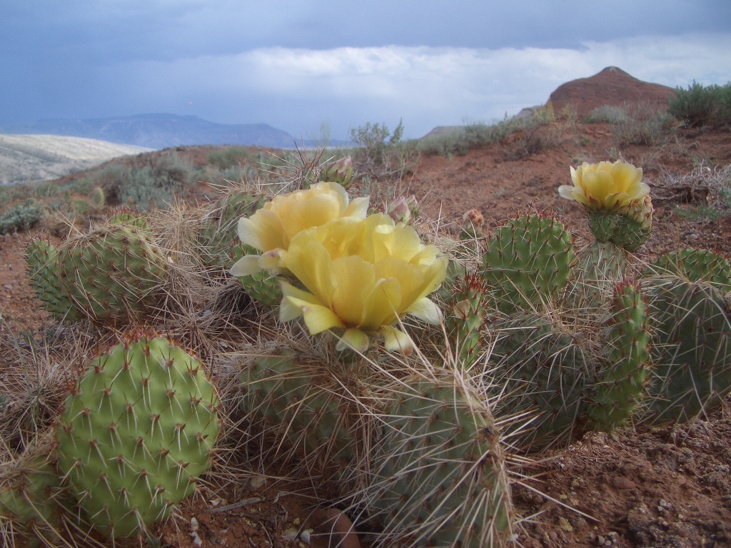
Spring Cactus
Kayaks at Barry's Landing (Lovell, WY District)
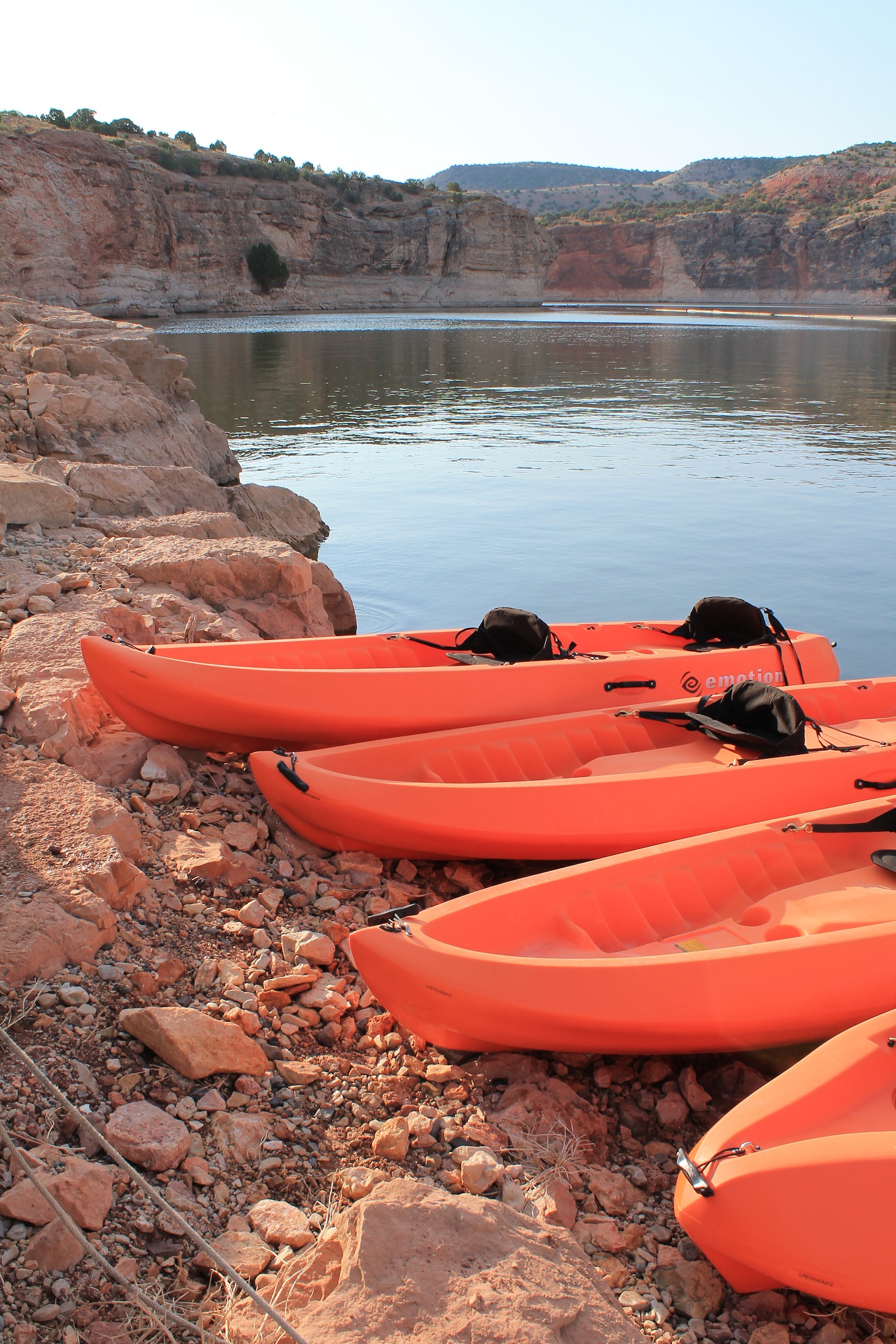
Kayaks at Barry's Landing ready to go. (Lovell, WY District)
Bighorn Sheep Overlooking the Canyon
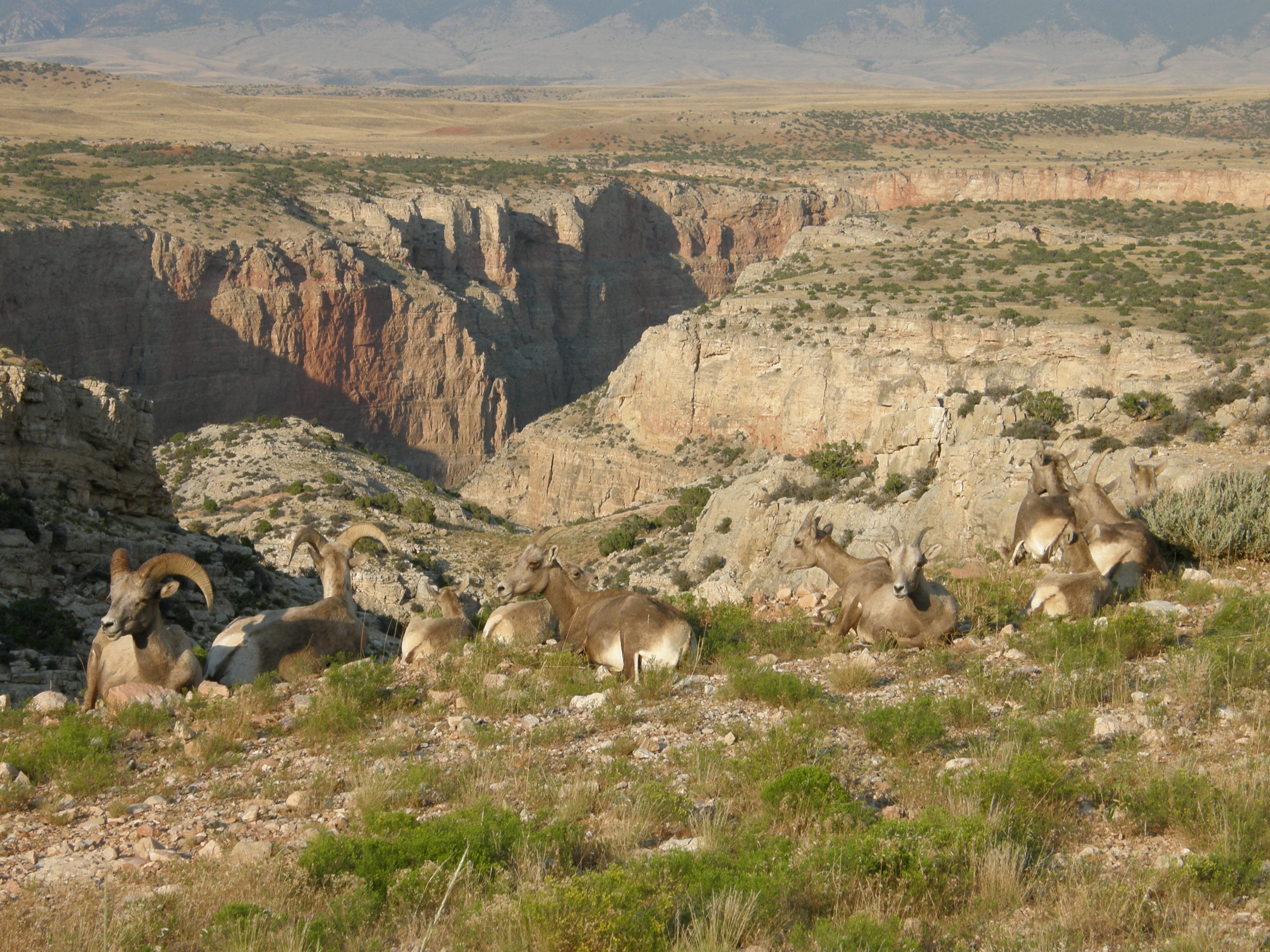
Bighorn Sheep Overlooking the Canyon
Devil Canyon Overlook from Sullivan's Knob Trail (Lovell, WY District)
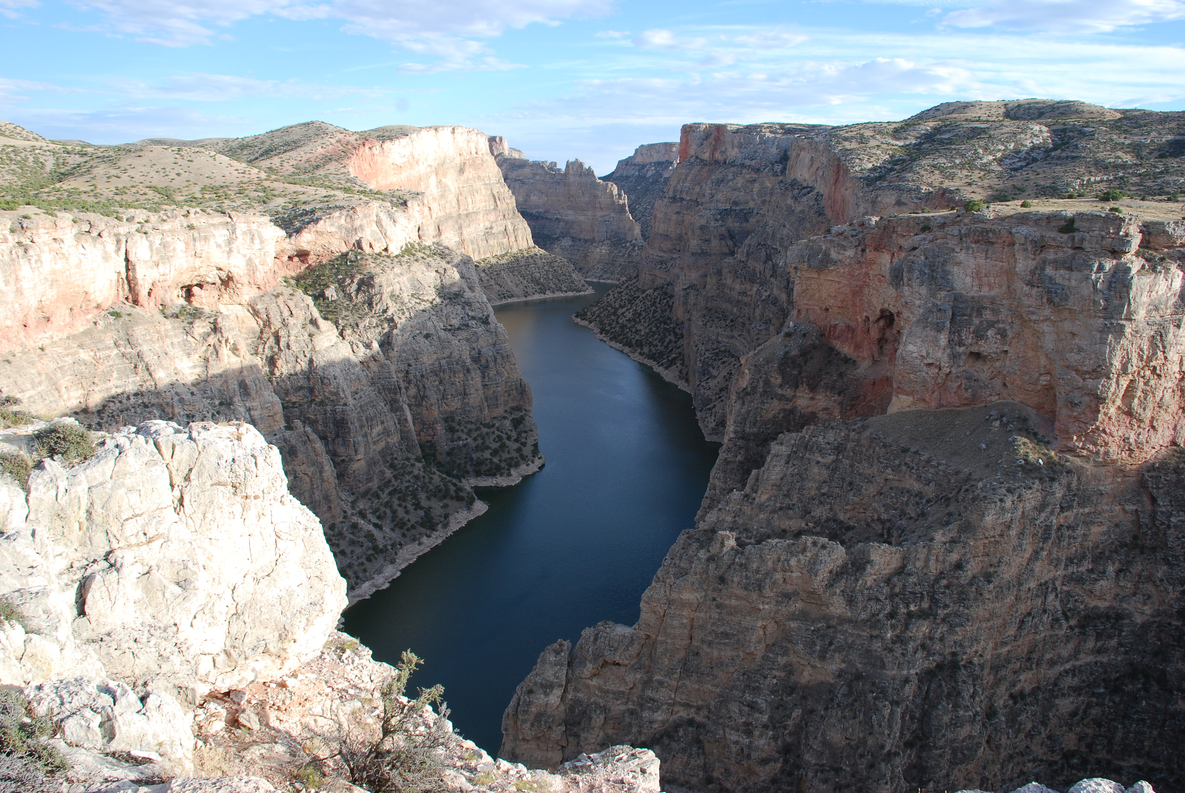
Devil Canyon Overlook from Sullivan's Knob Trail (Lovell, WY District)
On The Lake
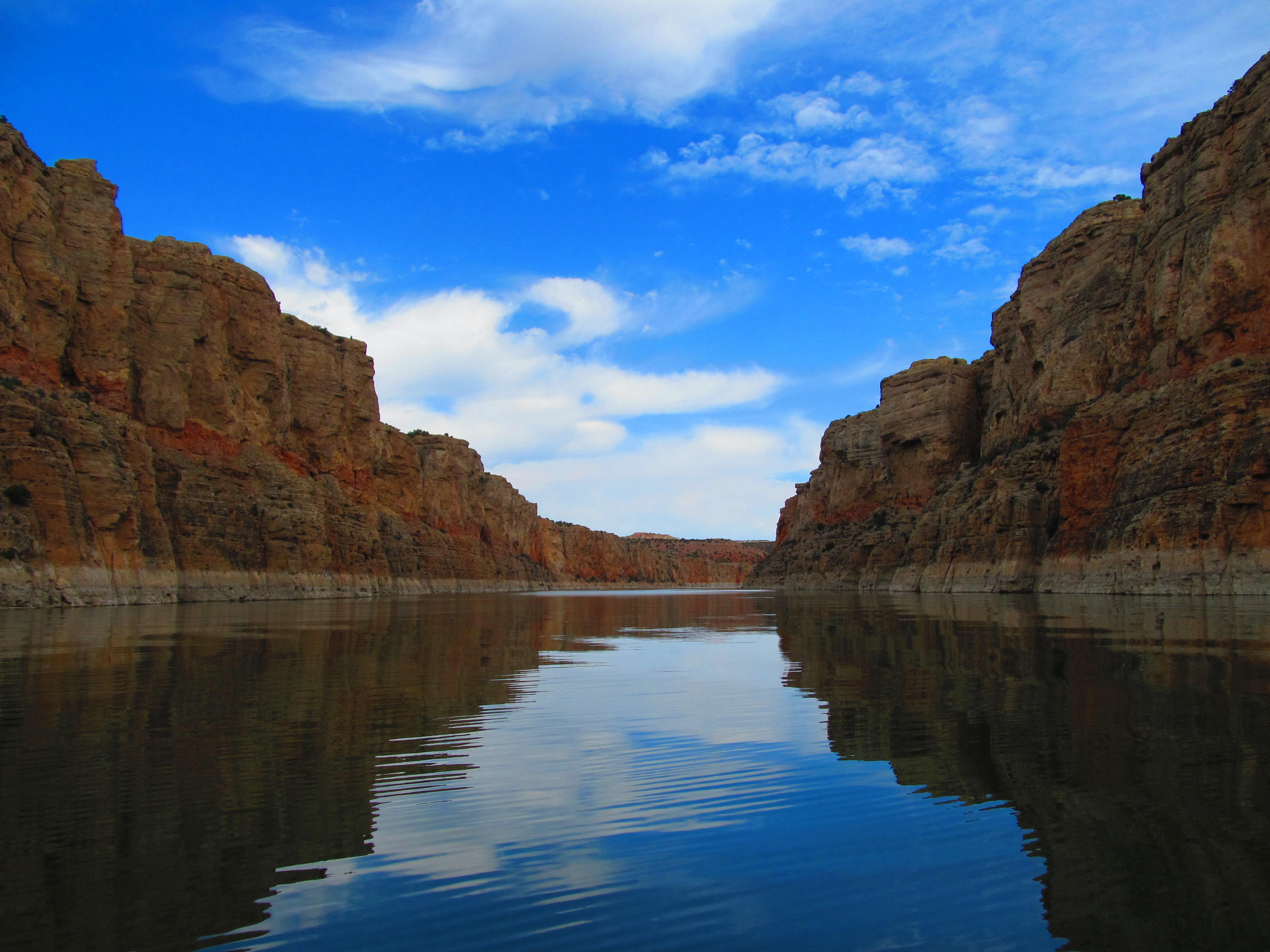
A Great Day on the Lake
Horseshoe Bend from the Sykes Mountain (Lovell, WY District)
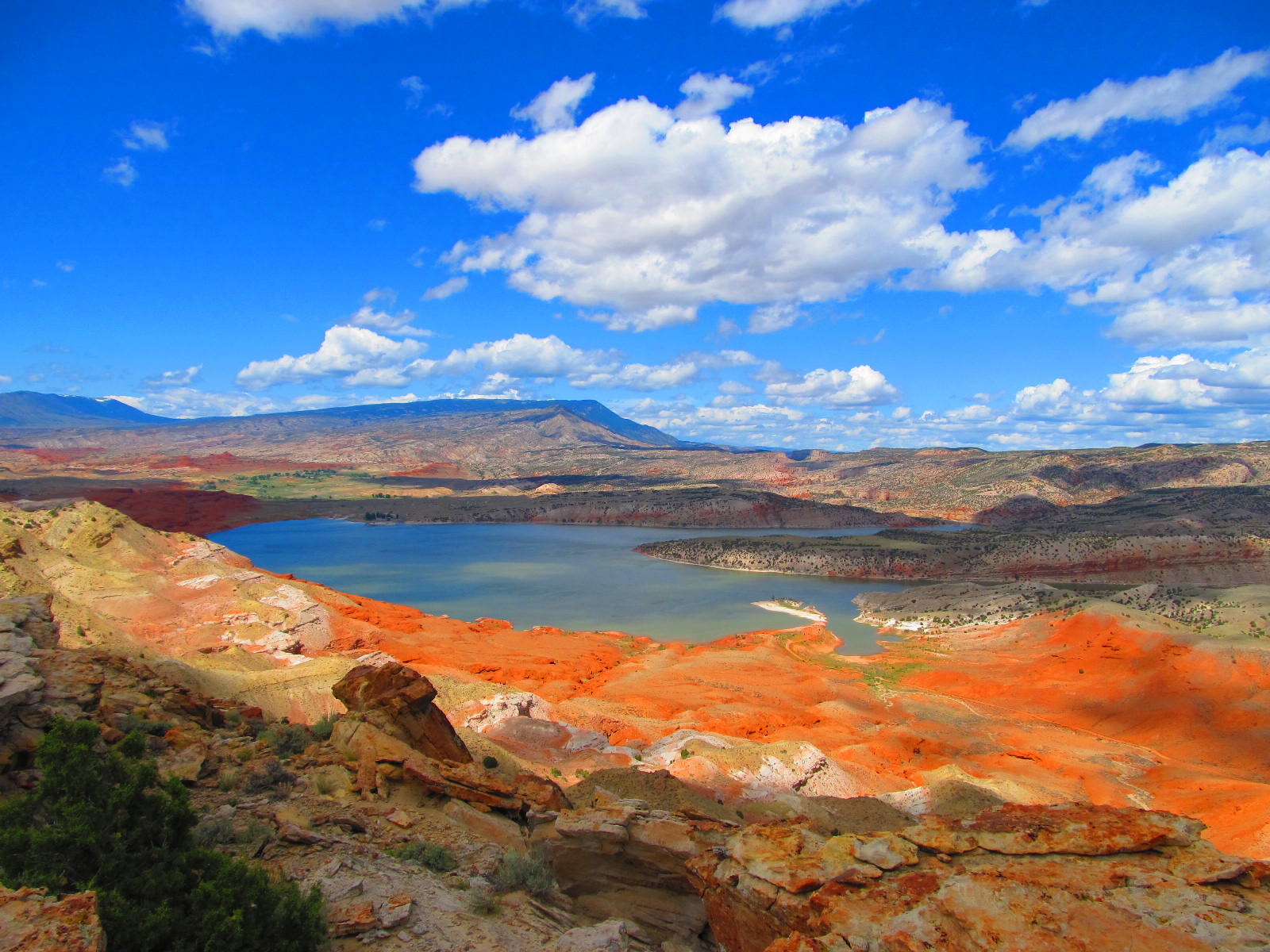
Horseshoe Bend from the Sykes Mountain (Lovell, WY District)